Landscapes
(Click on image for larger view)


lastday-03s.jpg (4716 bytes)lastday-06xs.jpg (5012 bytes)lastday-05xs.jpg (5215 bytes)

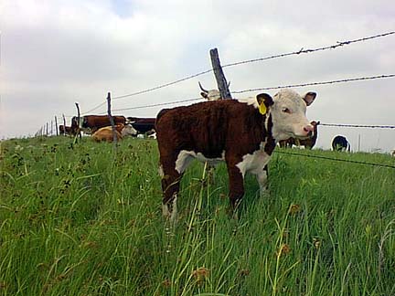
Young calves often times get outside the barbed-wire fences, but stay near their mothers.

lastday-17xs.jpg (5115 bytes)lastday-13xs.jpg (4947 bytes)lastday-08xs.jpg (4780 bytes)

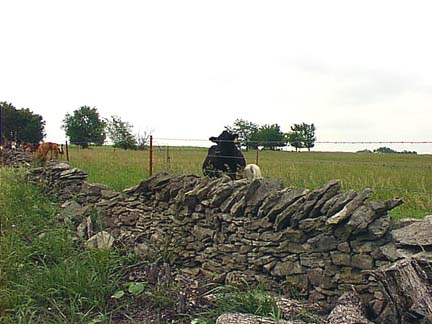
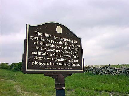
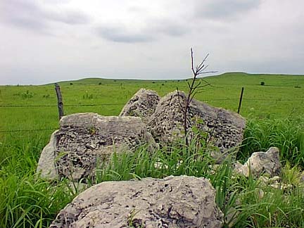
As the marker states, there was an incentive for maintaining rock fences.  This monument marker
is located a couple of miles South of Alma, Kansas along Highway K-99.

lastday-11xs.jpg (3895 bytes)lastday-04s.jpg (5557 bytes)lastday-09s.jpg (5463 bytes)lastday-12xs.jpg (4835 bytes)

What looks like a giant volleyball is a covered-dome radar site for the U.S. Weather Bureau, and
is located in Wabaunsee County, about 30 miles West of Topeka and South of Maplehill, KS.


All photographs © 1999 by D. G. Palmer