WXstation South Central Topeka


For current conditions this station (KKSTOPEK440)  CLICK HERE.


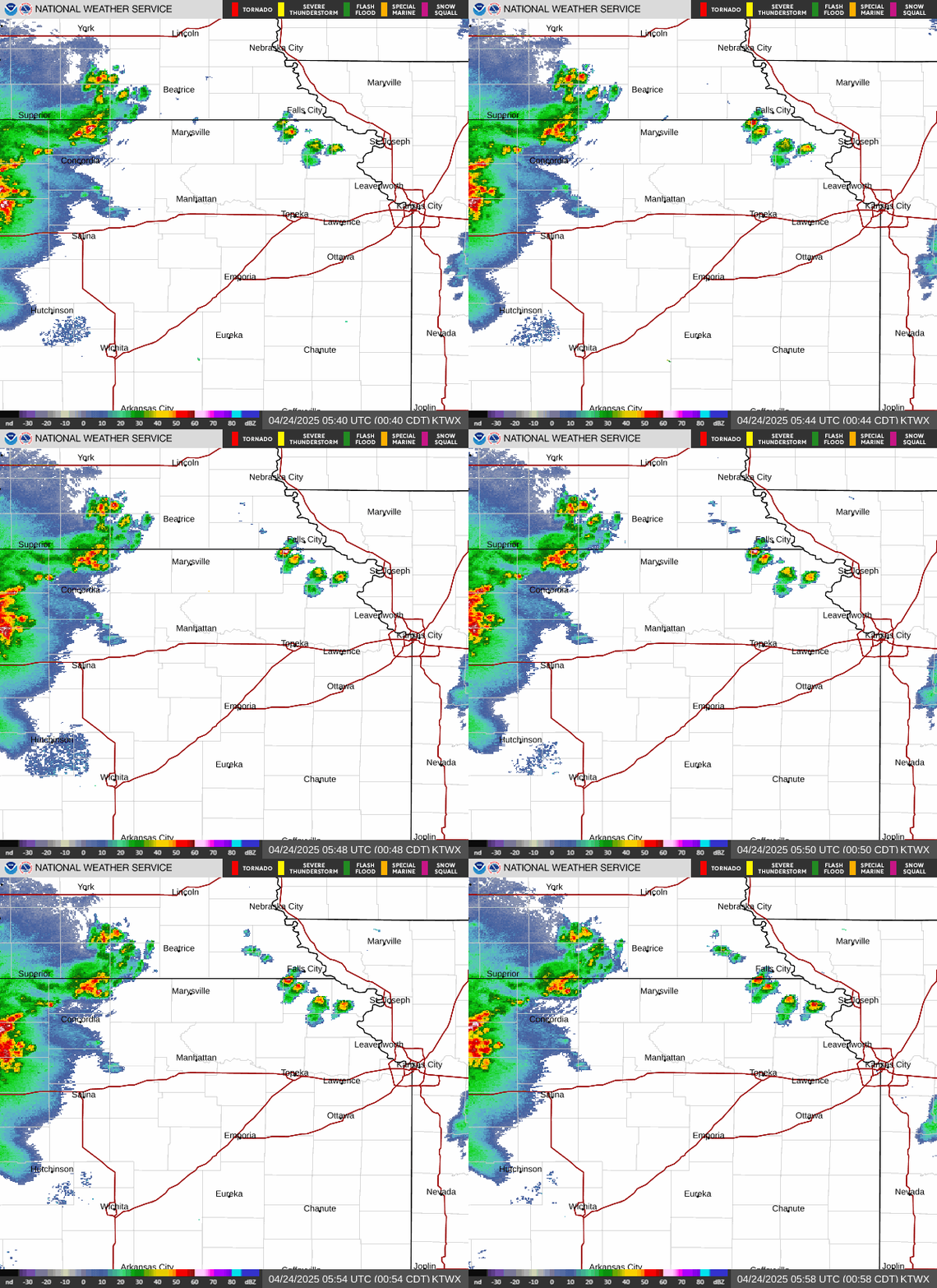
Local Radar Image


CLICK HERE for current weather FORECAST   |   CLICK HERE 10-day weather FORECAST


Click on Menu selection below

NOAA Radio Stream (WKX91 - NE Kansas)

Kansas Turnpike Authority -  Map & Weather

NOAA radio outages

KanDrive - Kansas Road Conditions

Flight Status - Kansas City International Airport

Topeka NOAA - Phillip Billard Airport

Kansas City Scout (Cameras etc)

NOAA Data for Topeka Station CW2327
Topeka NOAA - Forbes Field Airport

Safe Travel USA

Shunga Creek level at Topeka Blvd

Alma, KS - KKSALMA6

Shunga Creek level at Gage Blvd

Berryton, KS - KKSTOPEK24

Current Kansas River level at Topeka

College Hill - KKSTOPEK295


Collins Park - KKSTOPEK101

Topeka Air Quality

Holton, KS - KKSHOLTO36

Aviation Weather for Topeka

Hoyt, KS - KKSHOYT8

Grassland Fire Danger Index

Knollwood - KKSTOPEK136


KTWU - KKSTOPEK350

Weather Station activity near CW2327

Lawrence - KKSLAWRE202

Weather Reports for CW2327

Lecompton, KS - KKSLECOM12

Panel Display for CW2327

Maplehill, KS - KKSMAPLE11


Paxico, KS - KKSPAXIC2

CWOP station CW2327 weather page

Perry, KS - KKSPERRY16

Manhattan, KS- KKSMANHA204

Hourly Number of Stations on APRS-IS

Mayetta, KS - KKSMAYET8


Silver Lake, KS - KKSSILVE6

St. Marys, KS - KKSSTMAR3


Valleyfalls, KS - KKSVALLE39

WeatherUSA - NOAA Weather Radio Streams

Wamego, KS - KKSWAMEG36

NOAA Weather Radio Org

Westport Neighborhood - KKSTOPEK47

   
KS0USA radio log


KS0USA/QRP radio log


Weather Story - Current Graphic & Forecast  
   

WXstation Pixels

Kansas Flint Hills

  Other Photos

Aerial  Photos 


JTAlert Text Messaging is ON

Questions or comments  Click here to eMail Don Palmer
 

web counter