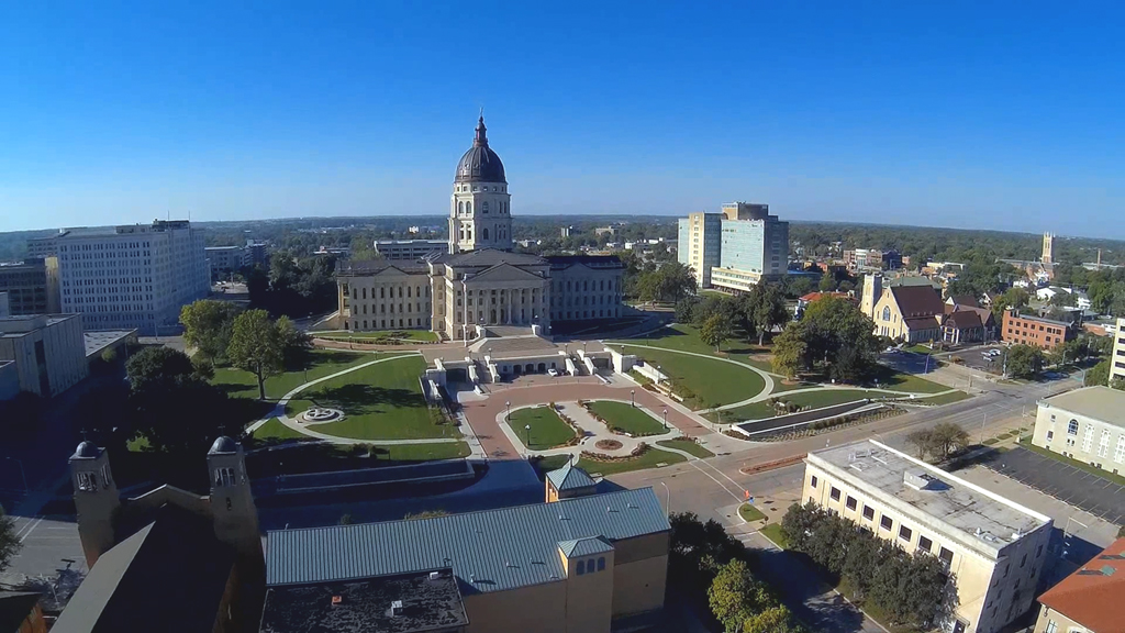
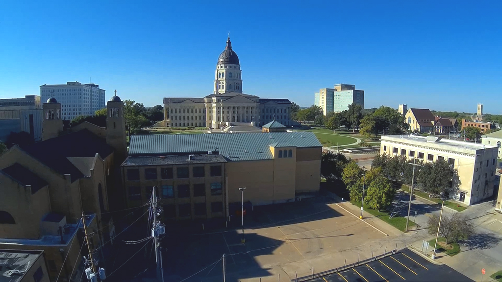
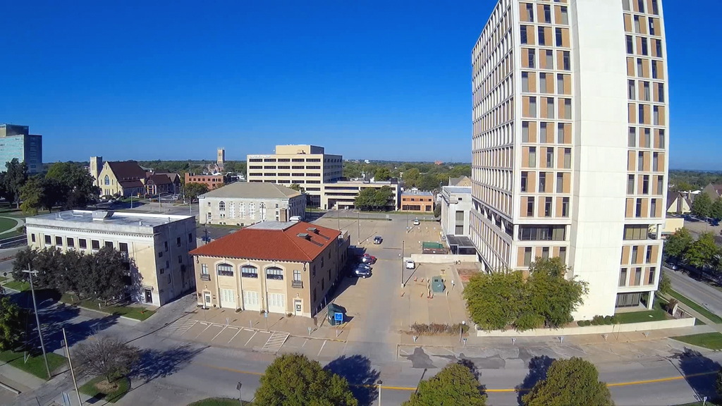
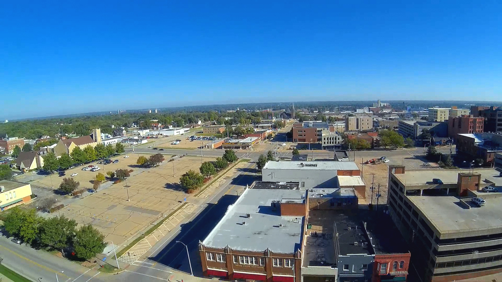
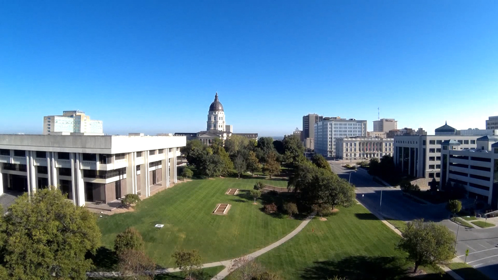
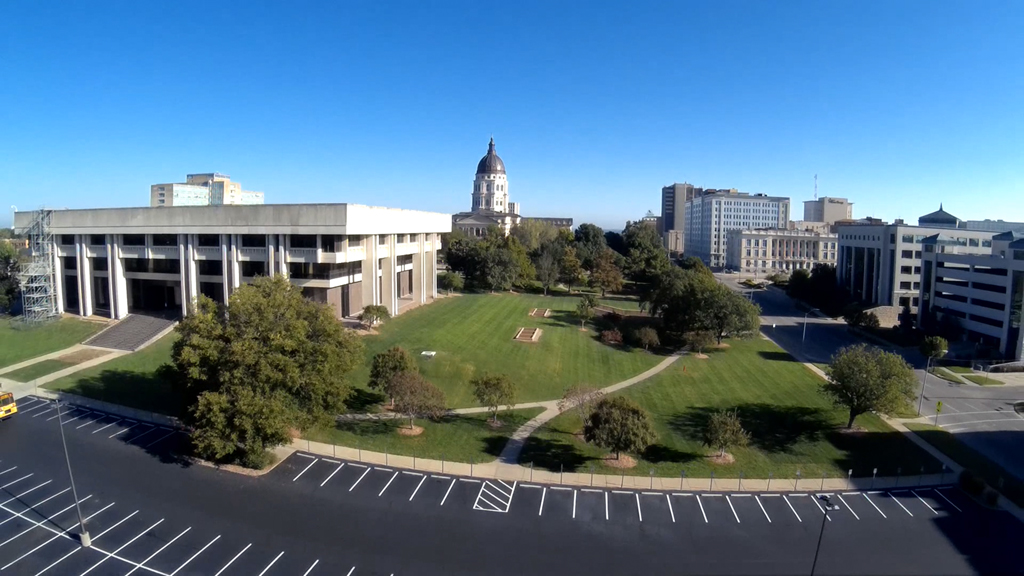
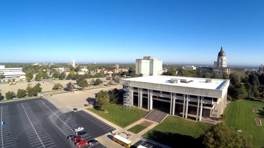
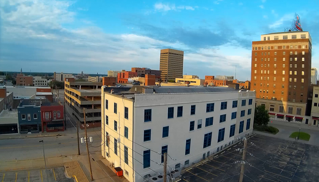
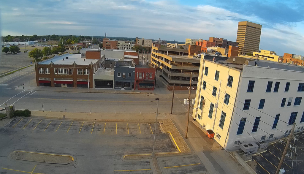
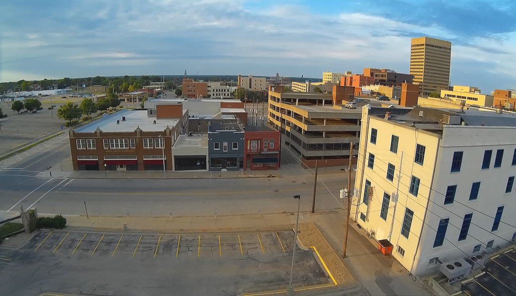
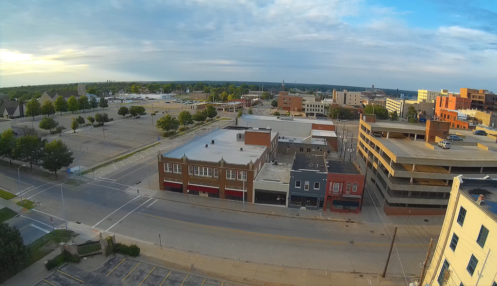
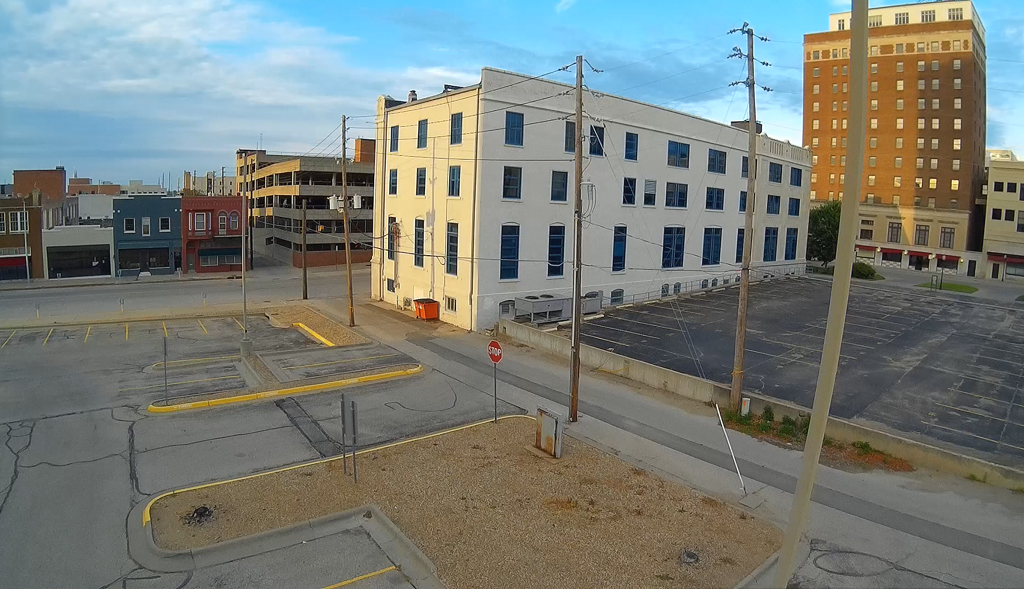
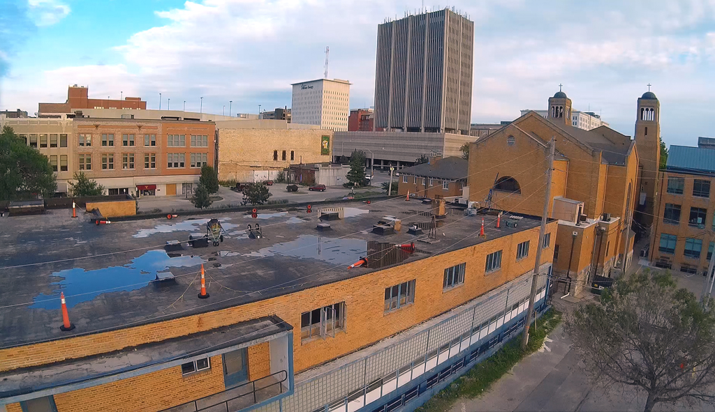
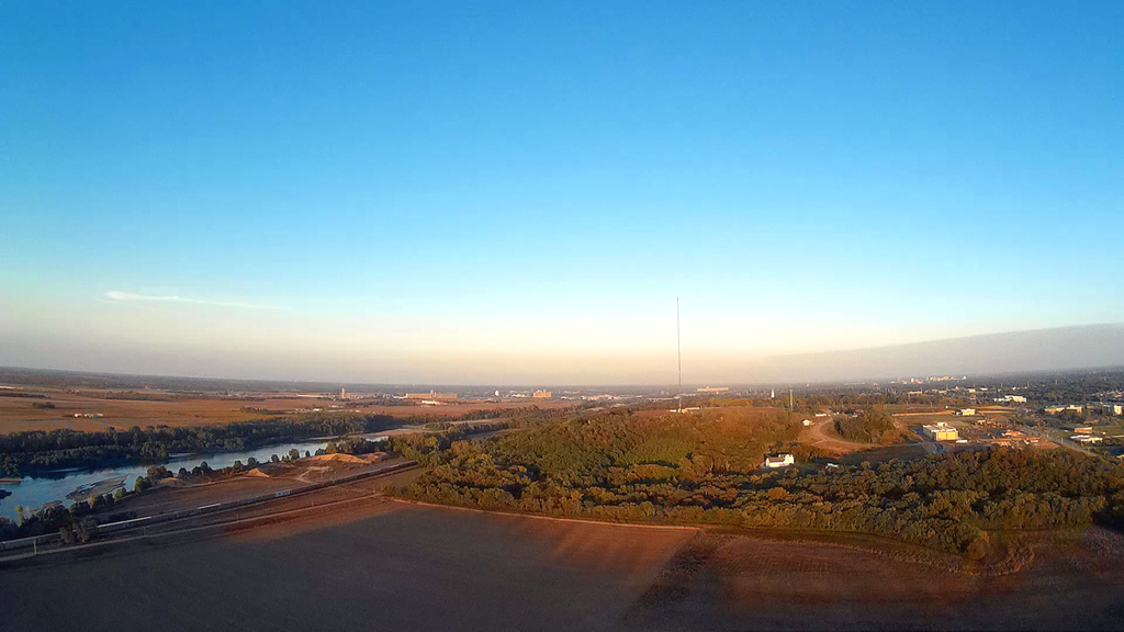
Launching and flying from the
North of the Kansas State Capitol grounds with just a slight
wind at 200 feet between the hours of 7 P.M. and 8 P.M.
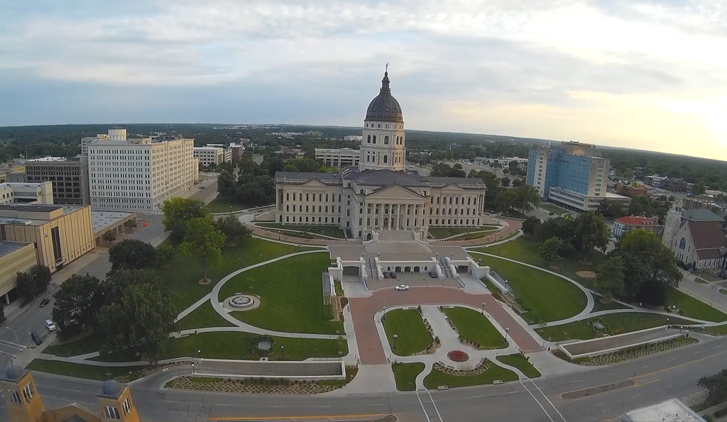
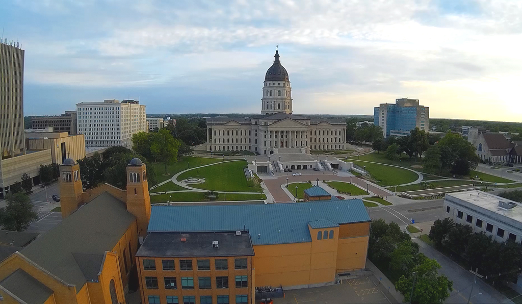
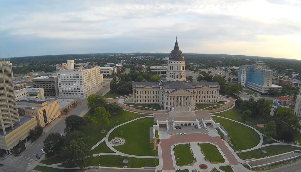
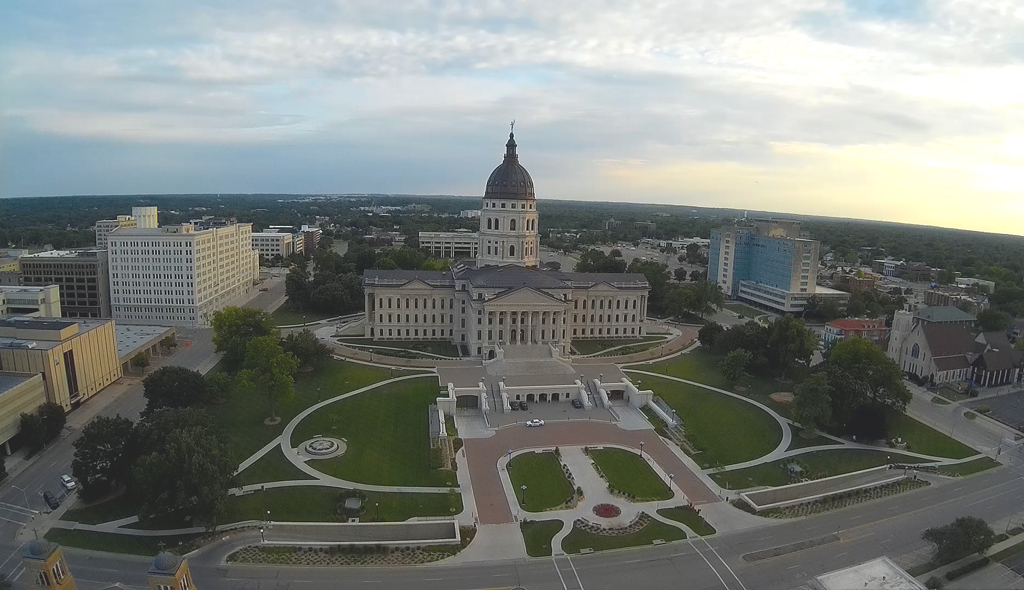
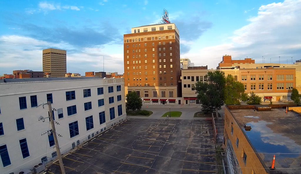
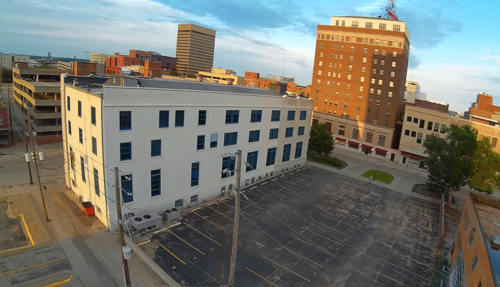
Turning East towards the Kansas Jayhawk Tower building and
then pointing to the South.
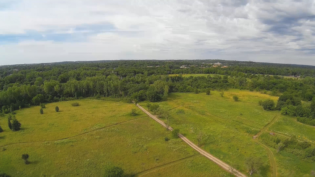
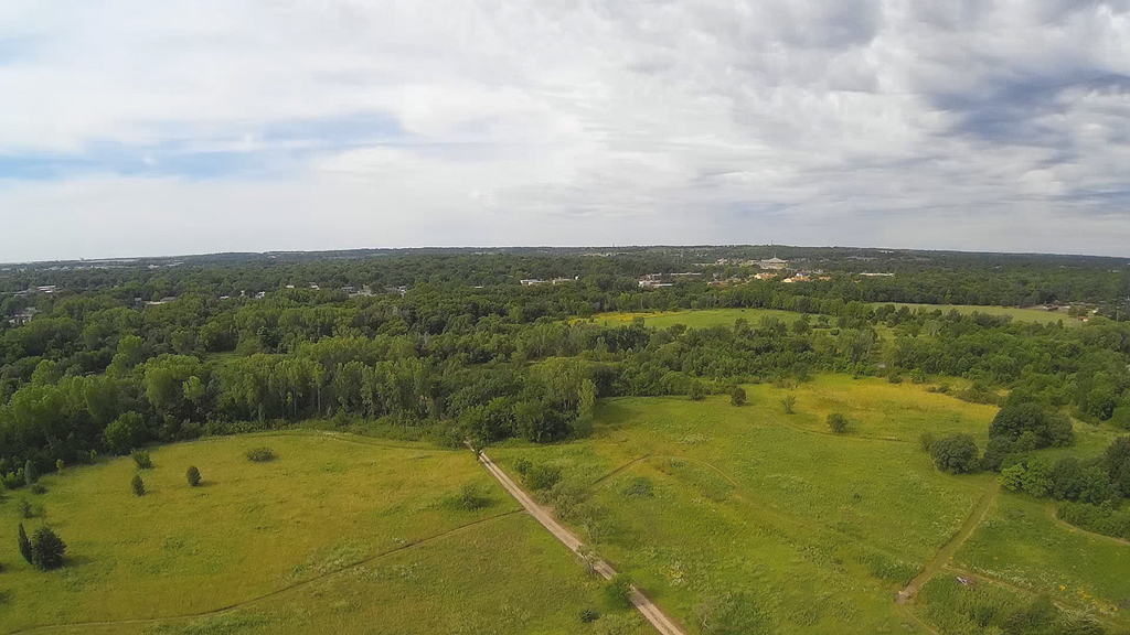
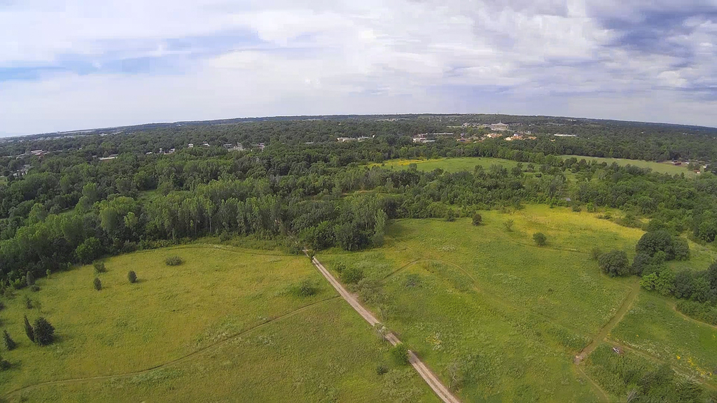
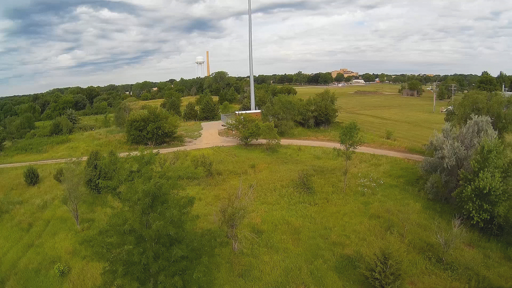
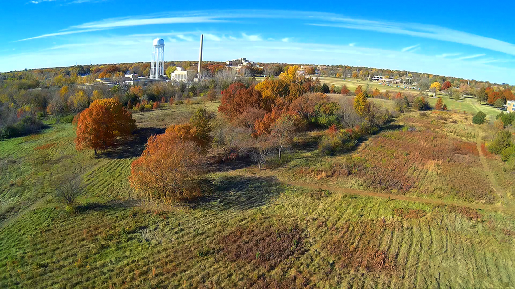
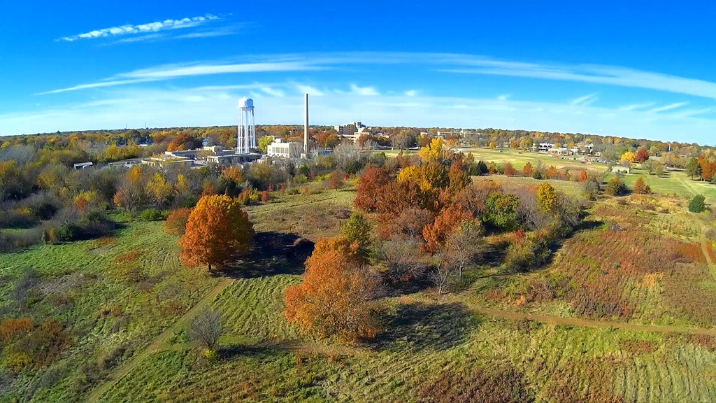
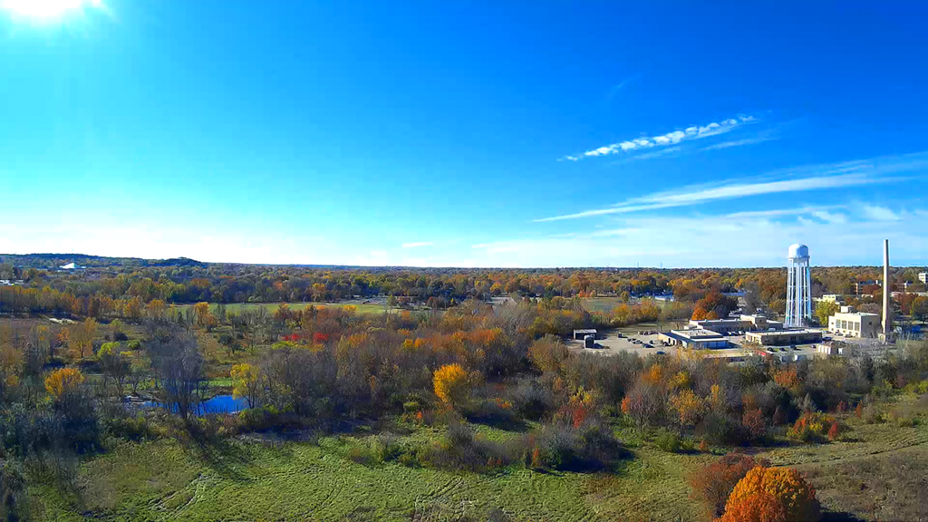
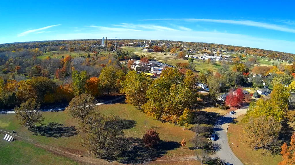
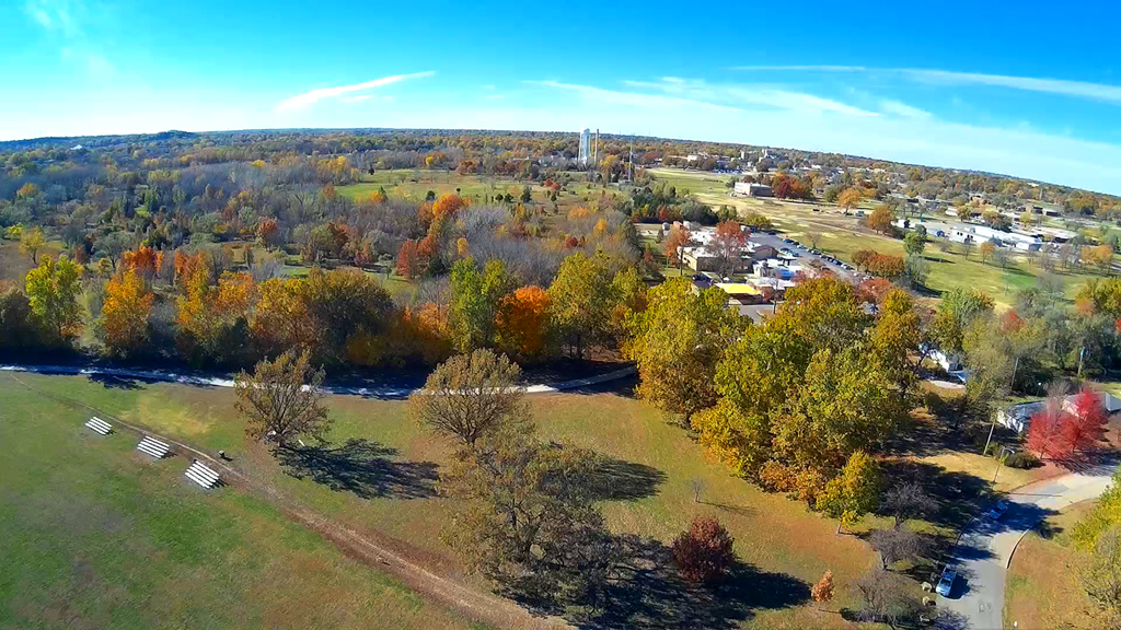
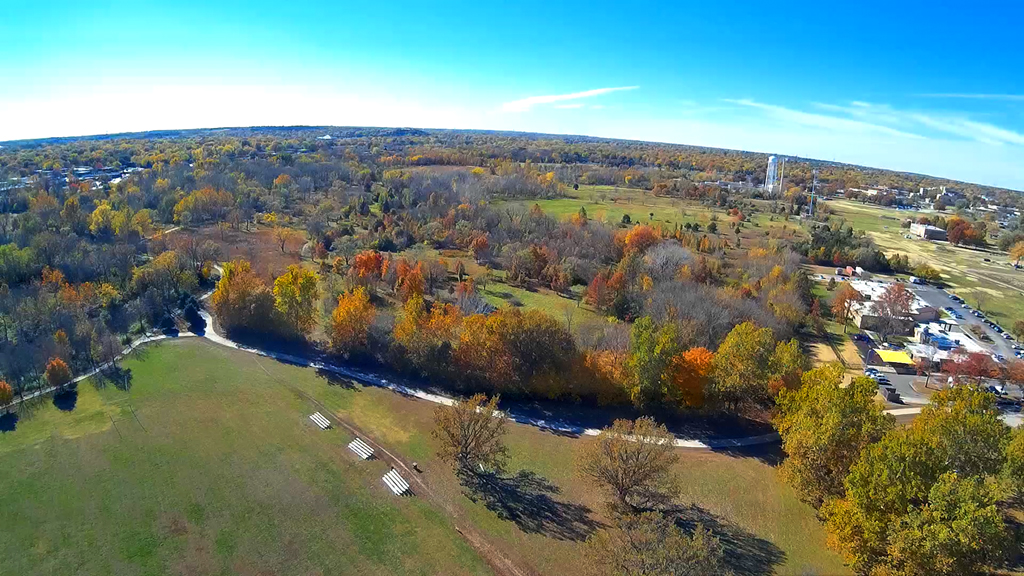
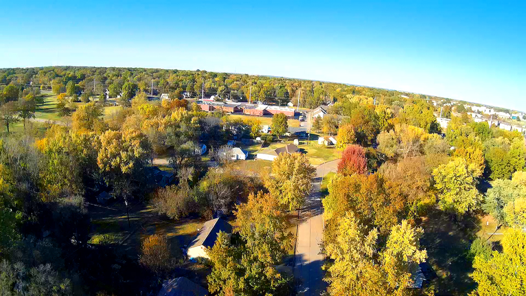
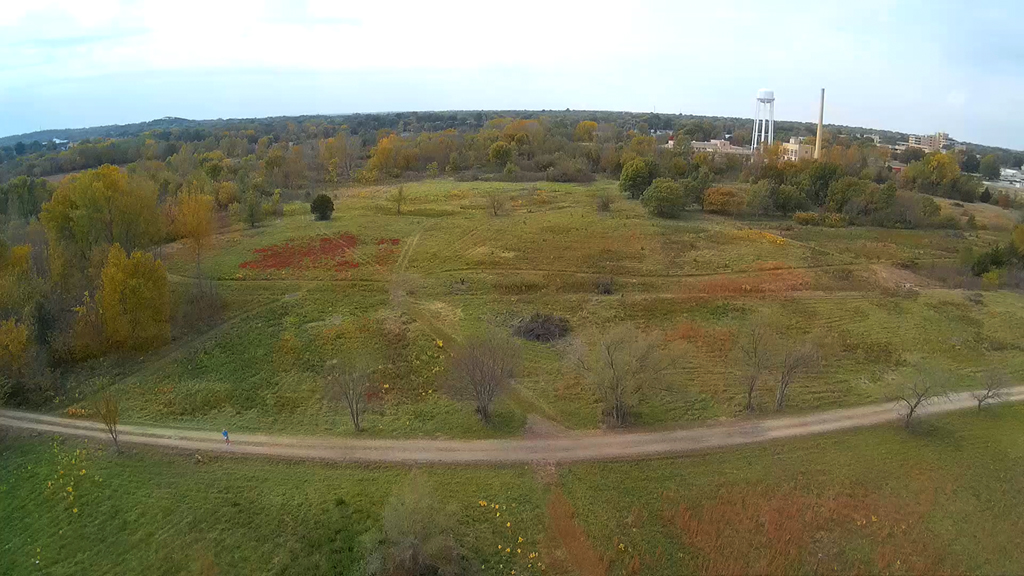
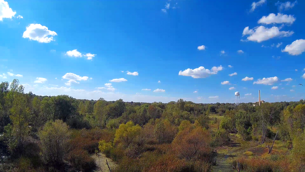
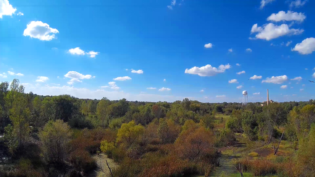
Shunga Glen Park - June 27, 2016
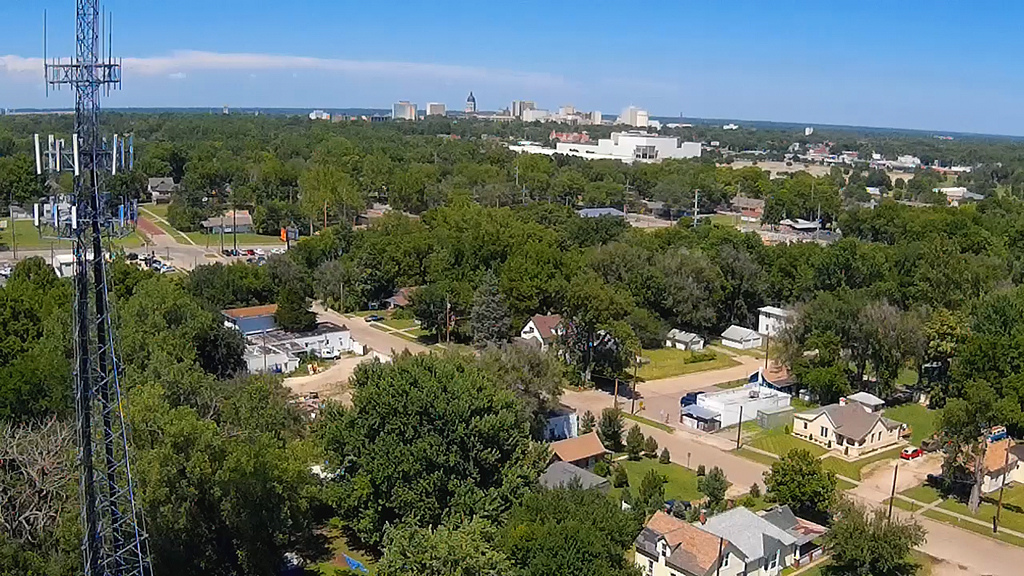
Looking Northeast from within Shunga Glen Park ( 24th and Buchanan Streets )
area, adjacent to the
Shunga Creek. Kansas Expo Centre in the distance and downtown Topeka on
the horizon.
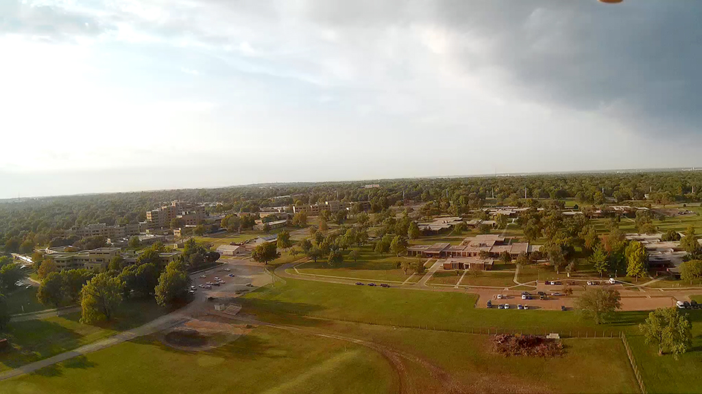
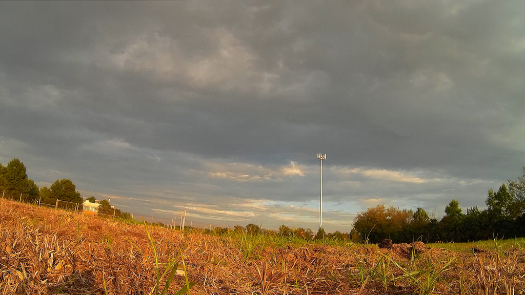
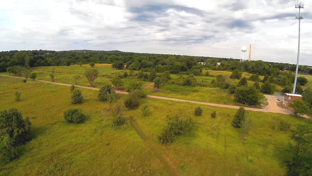
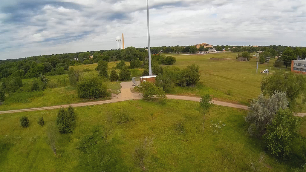
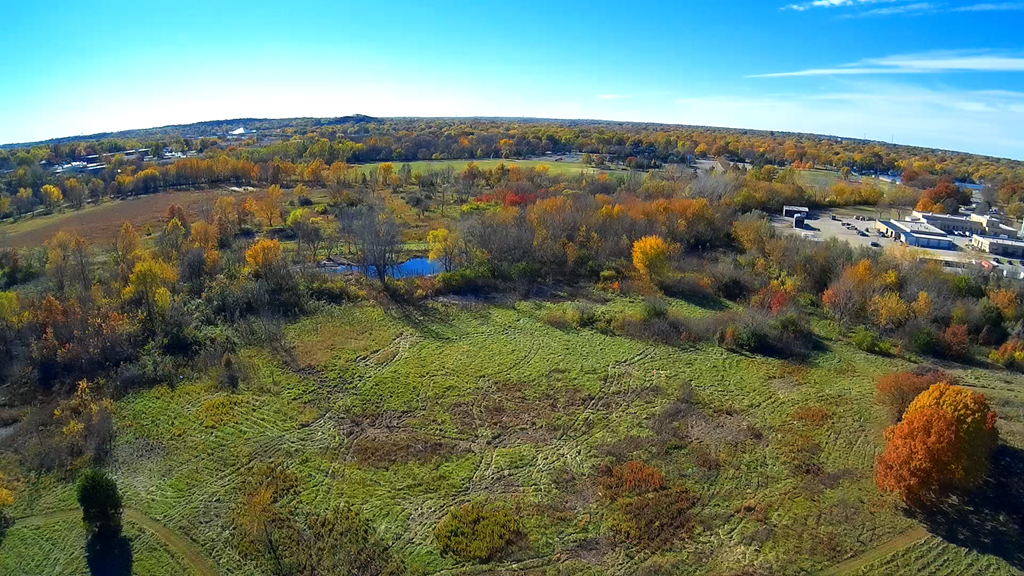
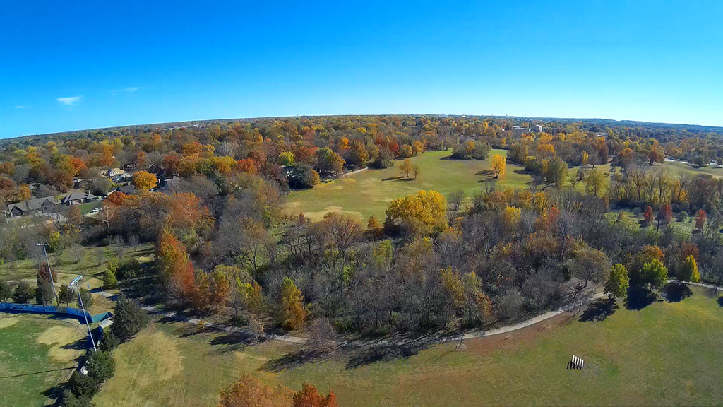
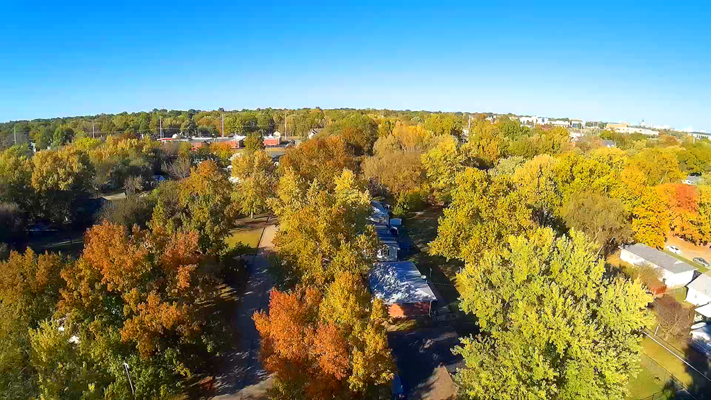
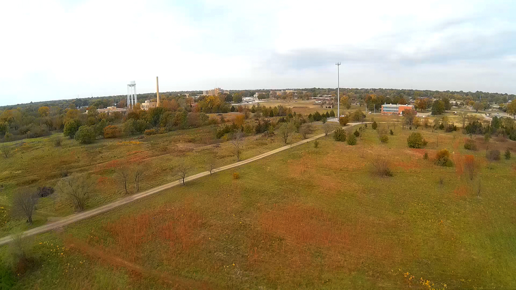
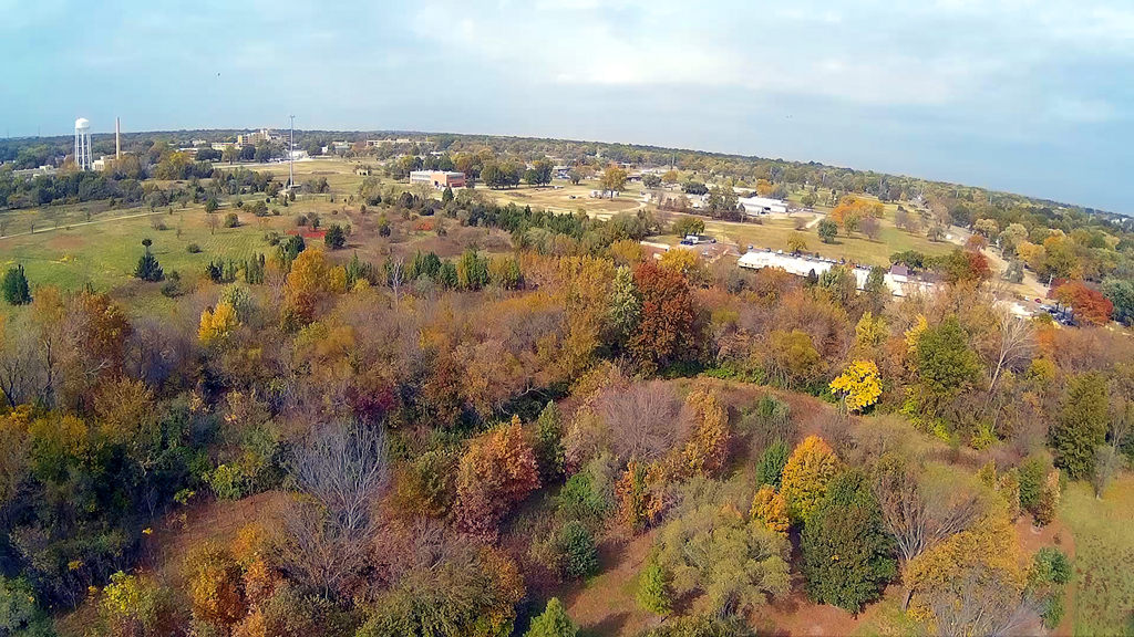
Open Field - June 26, 2016
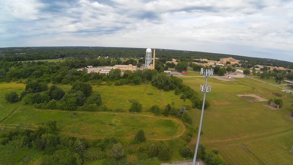
Cloudy, overcast and very
warm and humid during this flight above the field South of the KNI
(Kansas Neurological Institute) campus. This area has mowed nature and
birding trails
provided by the City of Topeka. For the most part the X600 Hexacopter was
facing South
then to the West with the RunCam HD camera aboard.
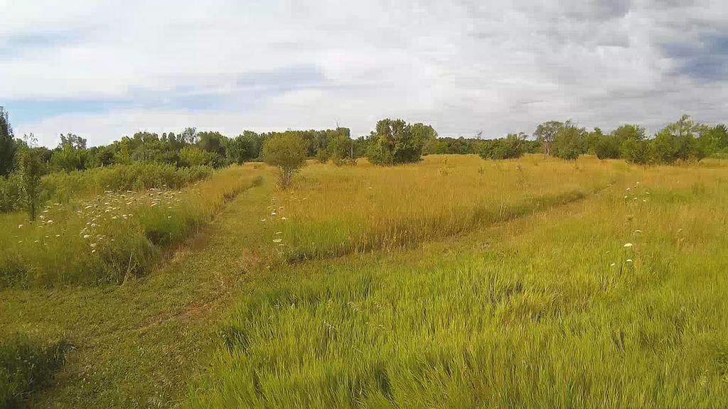
The overall area is North of the
Shunga Glenn walking trails, West of the McDonald Ball Park
and then East of the Topeka VA Hospital.

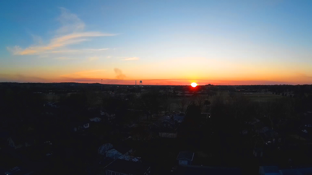
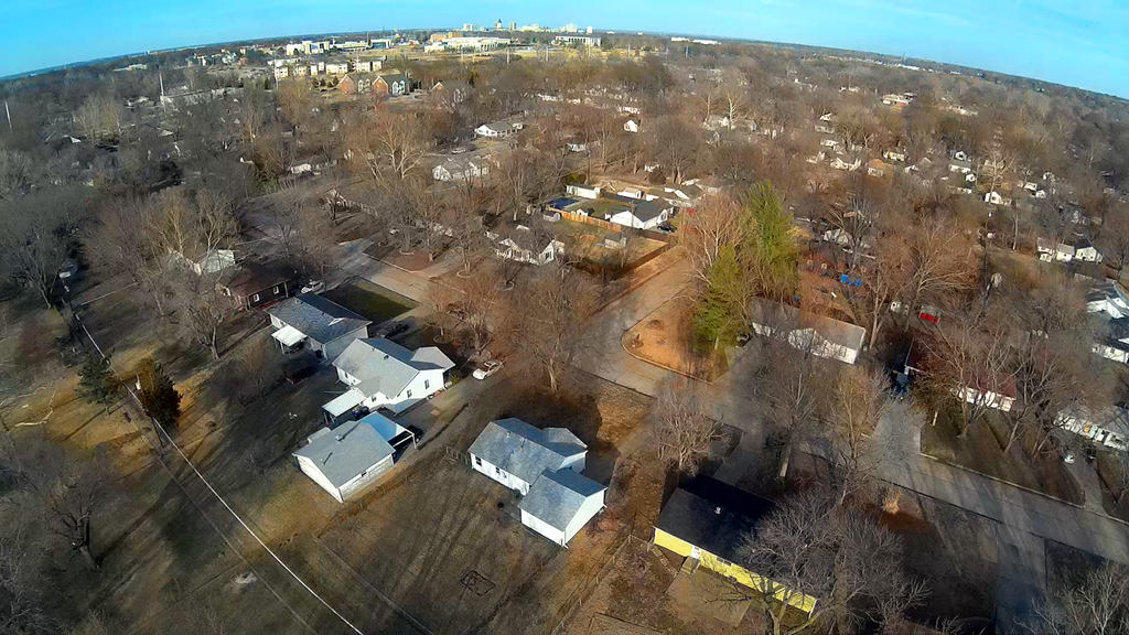
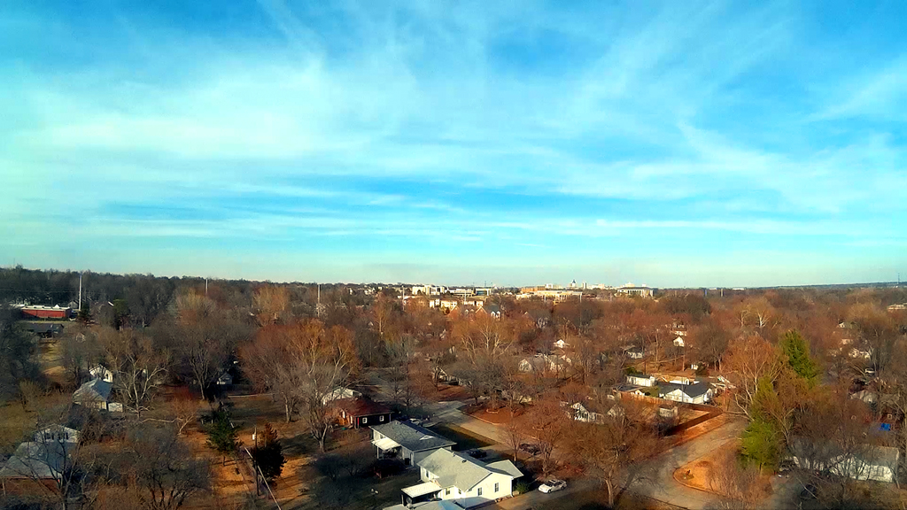
Evening Sunset - March 10, 2016
Spring is Near from Above - March 5, 2016
Spring like
temperatures and just a little wind in the late afternoon. This backyard
launch went up about
250 to 300 feet in altitude (best estimate), looking to the North and Northeast.
Launching at about 4:30PM CST and ending just shortly before 5:00 PM CST.
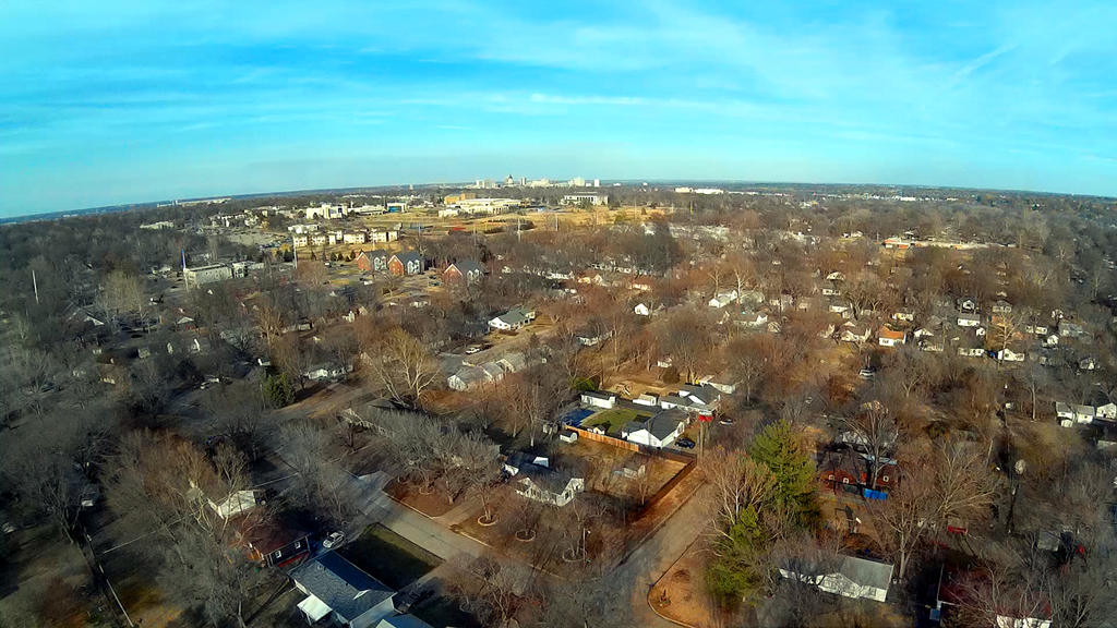
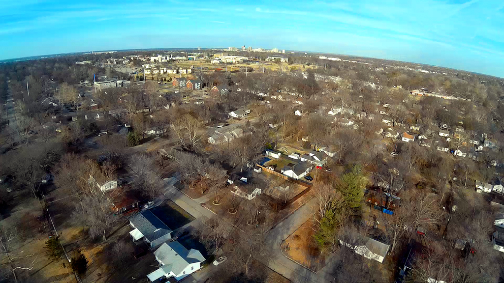
The Kansas State Capitol is off in the far distance along the horizon line to
the Northeast,
while almost directly North on the horizon are the Cargill grain elevators along
Northwest Lower Silver Lake
road across the Kansas River.
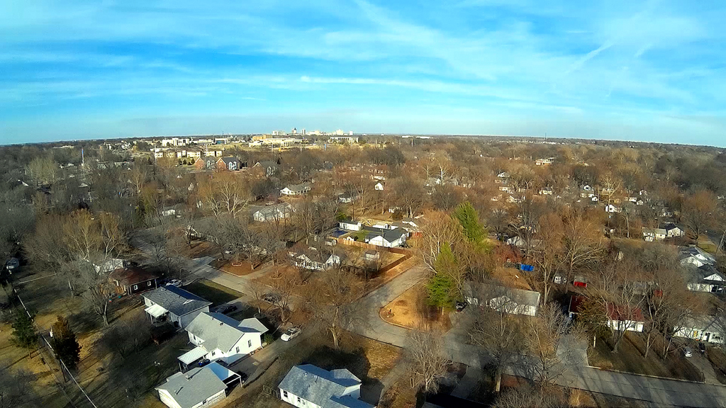
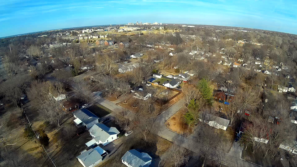
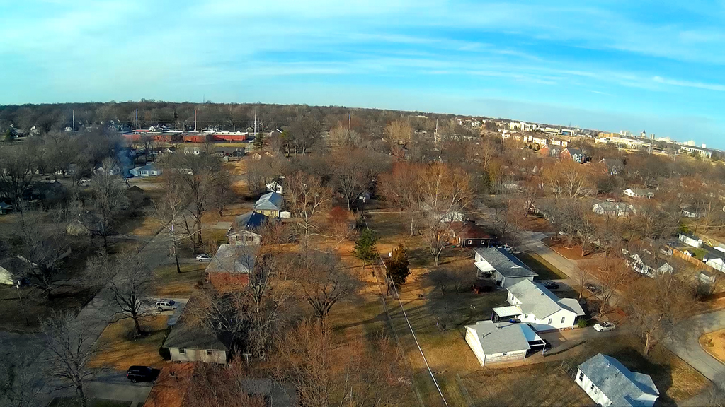
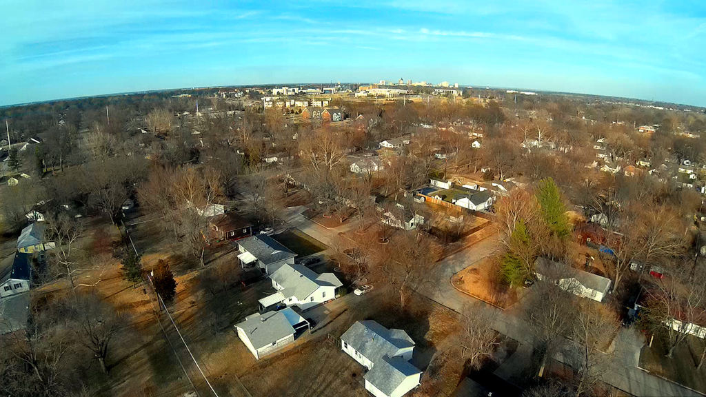
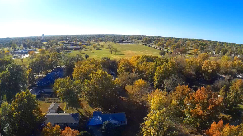
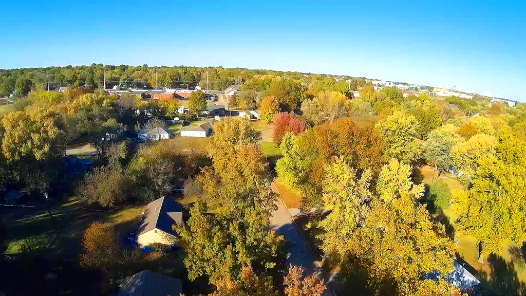
Neighborhood Flyover - February 20, 2016

A lot different appearance than during the Autumn, however we were quite a bit
higher in altitude, looking almost straight North from the back yard.
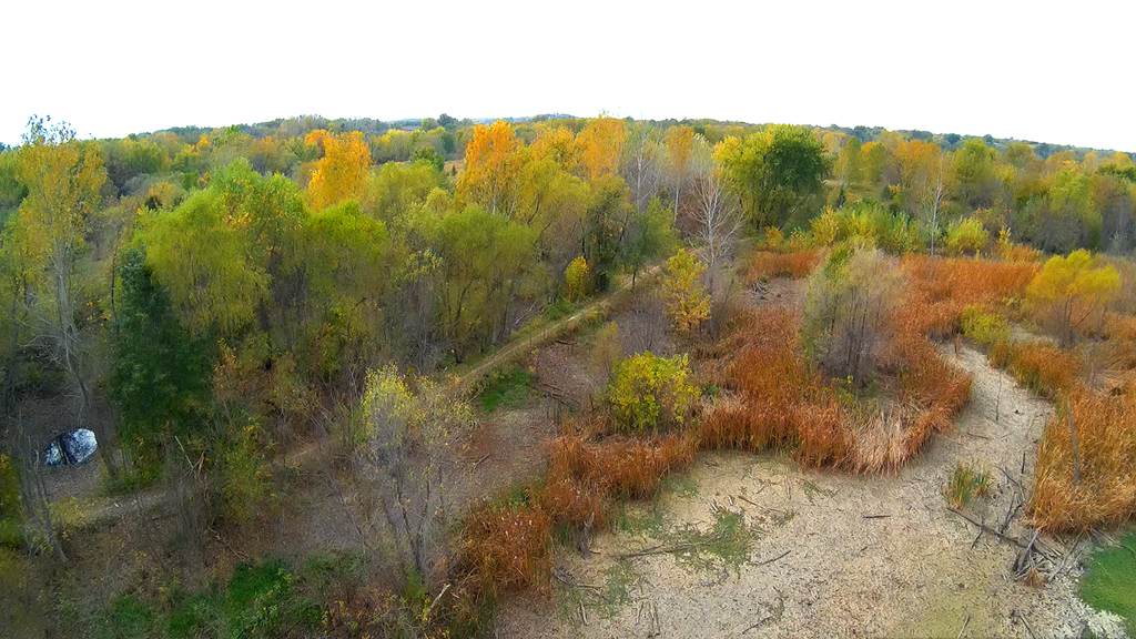
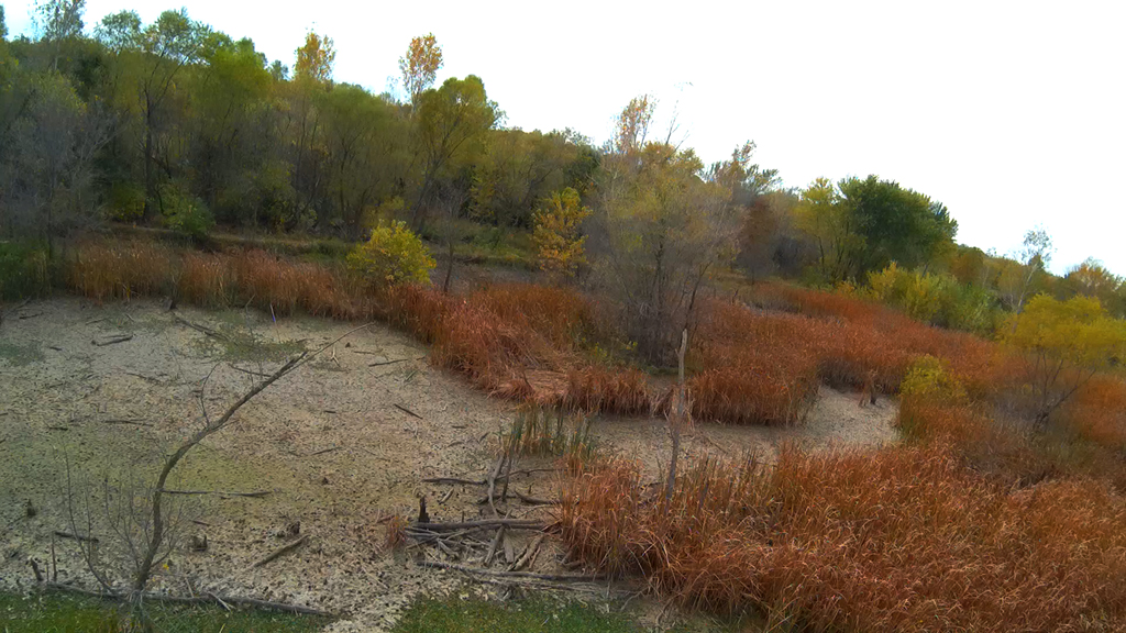
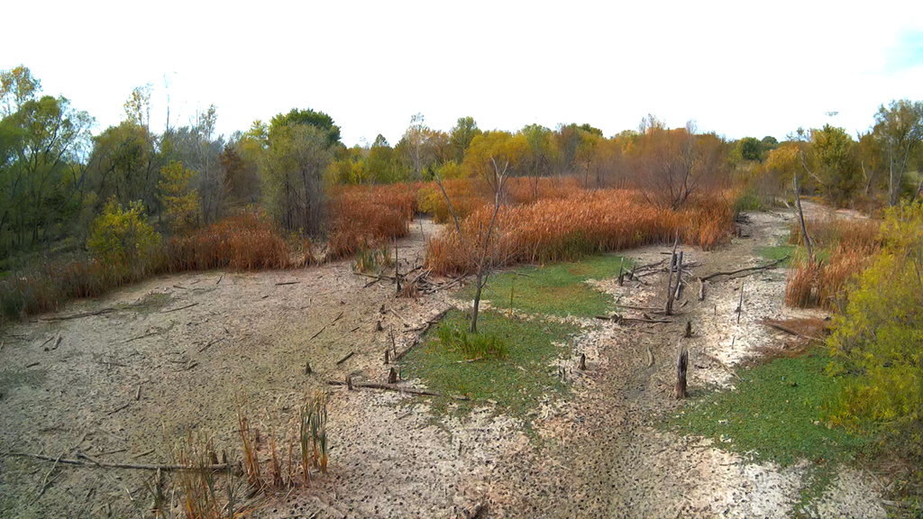
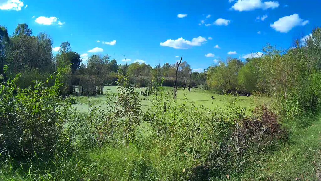
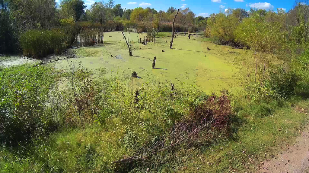
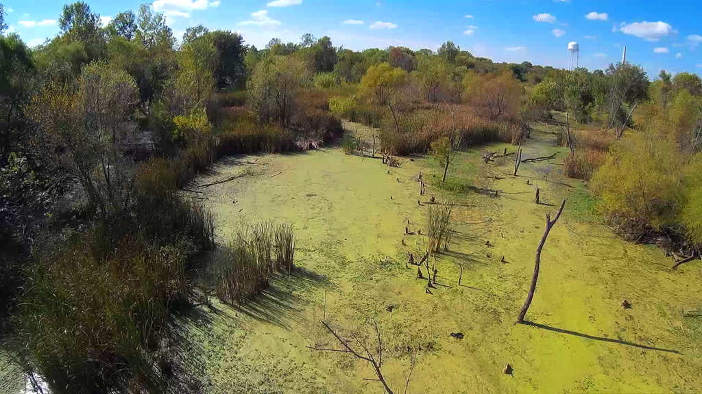
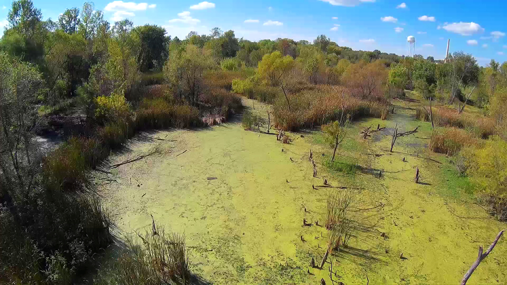
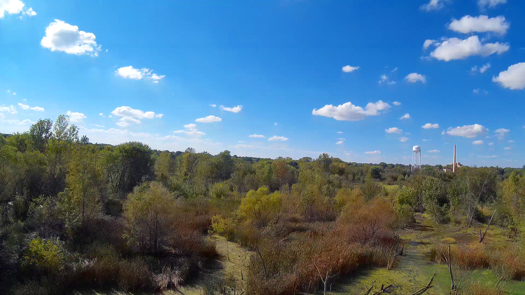
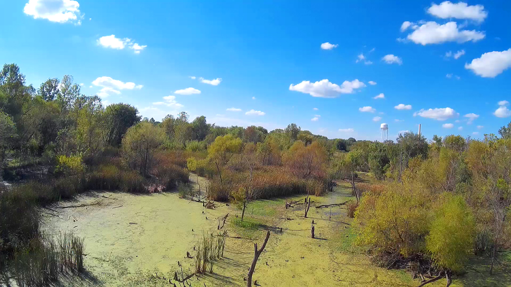
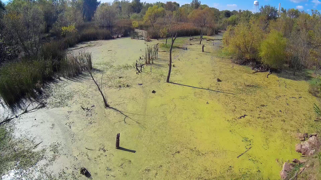
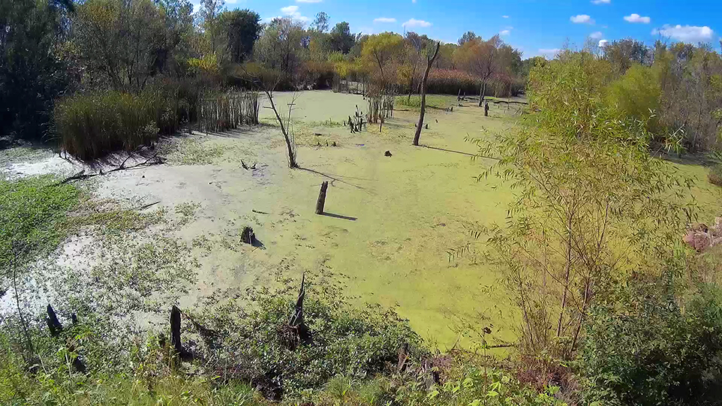
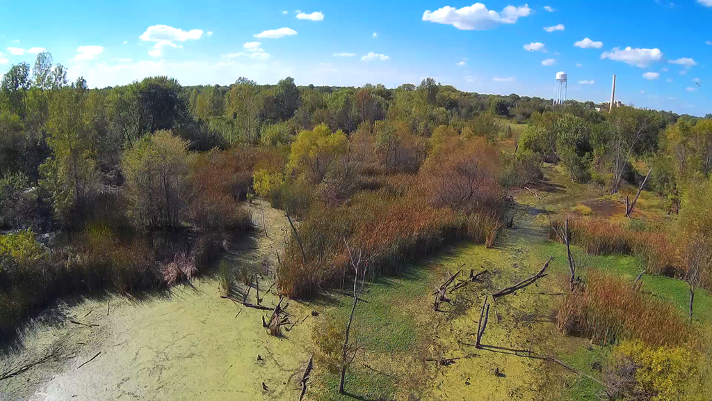
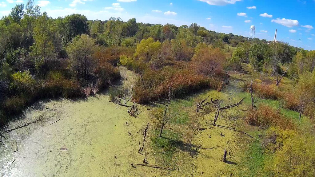
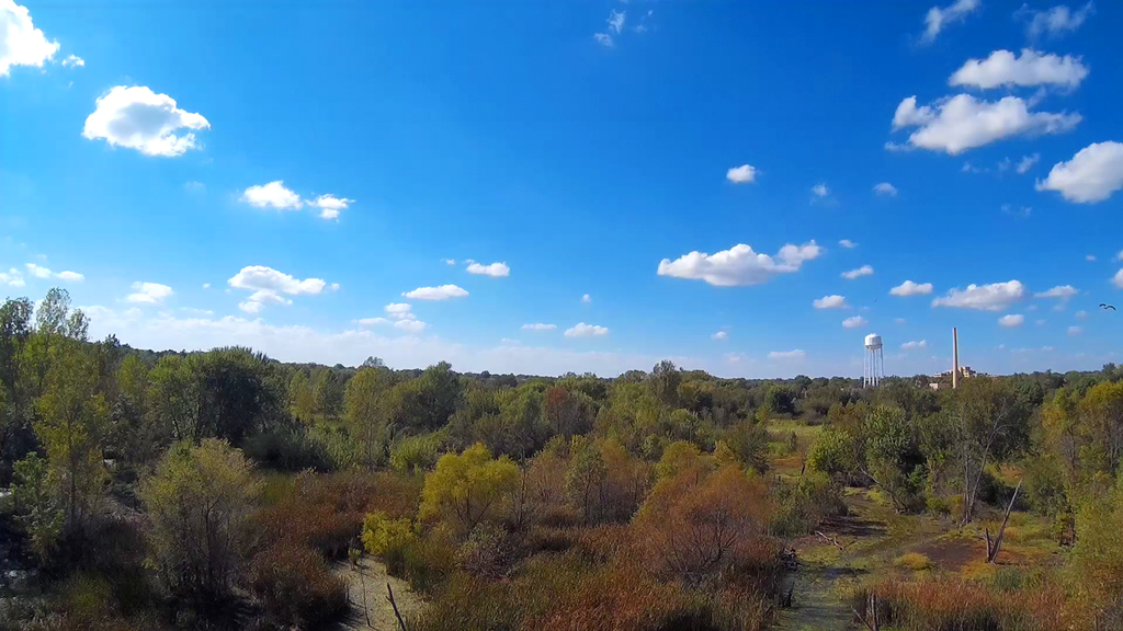
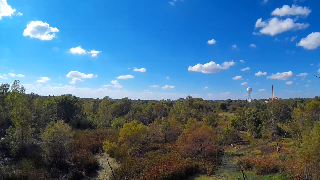
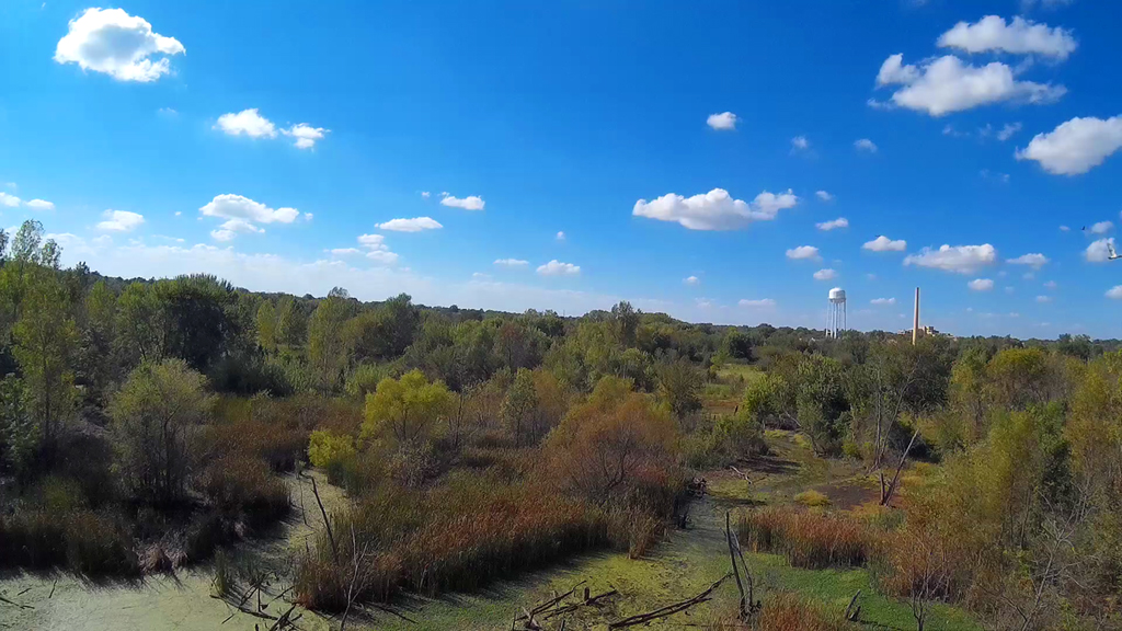
Autumn from Above - November 6, 2015

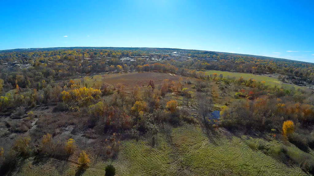
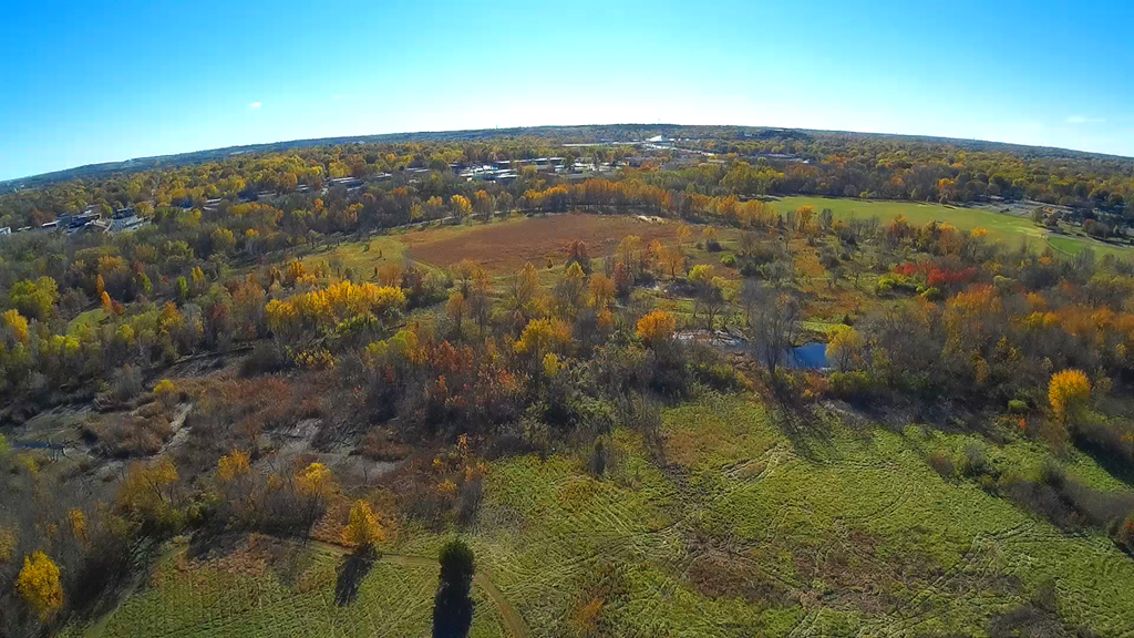
Turning to the West got the hexa-copter
into the path of sun and the camera had some difficulty handling the exposures,
but
for the most part the color was okay. Images two, three and four show that
the swamp area (see below) has gained a little
water since we were there on October 22, however it is still dry for the most
part (image five), as the water you are seeing is
another pond area to the West of the swamp.
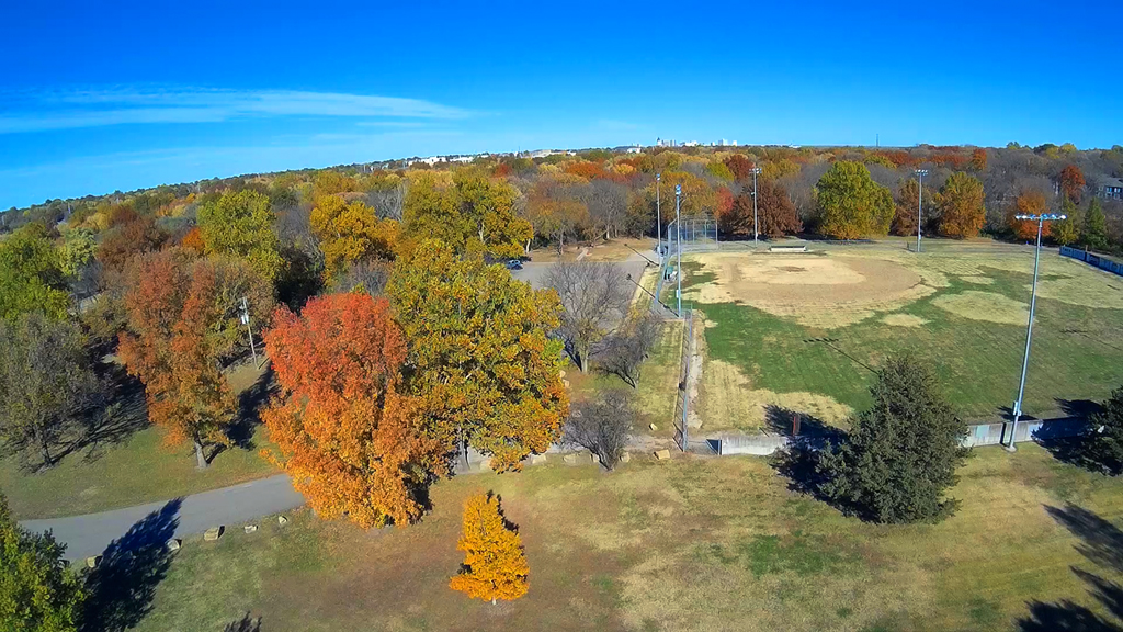
Launching in the soccer field area of
McDonald Park and West of the baseball diamond.
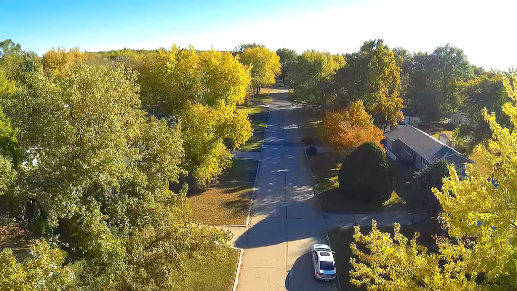
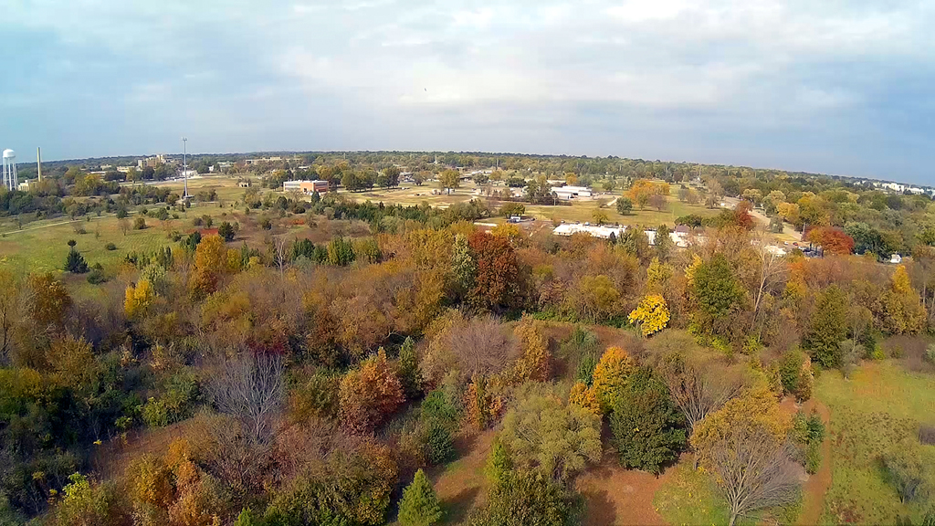
Neighborhood Flyover - October 25, 2015
Autumn colors are really beginning to show, especially since
we've had some frost. The above image
looking to the West towards the KNI (Kansas Neurological Institute) campus, the
VA Topeka hospital off in
the distance and Southwest 21st street along the North.
Pointed mostly to the North, the first and third images are showing the rear of
the small businesses
located at the corner of Southwest 21st an Randolph streets.
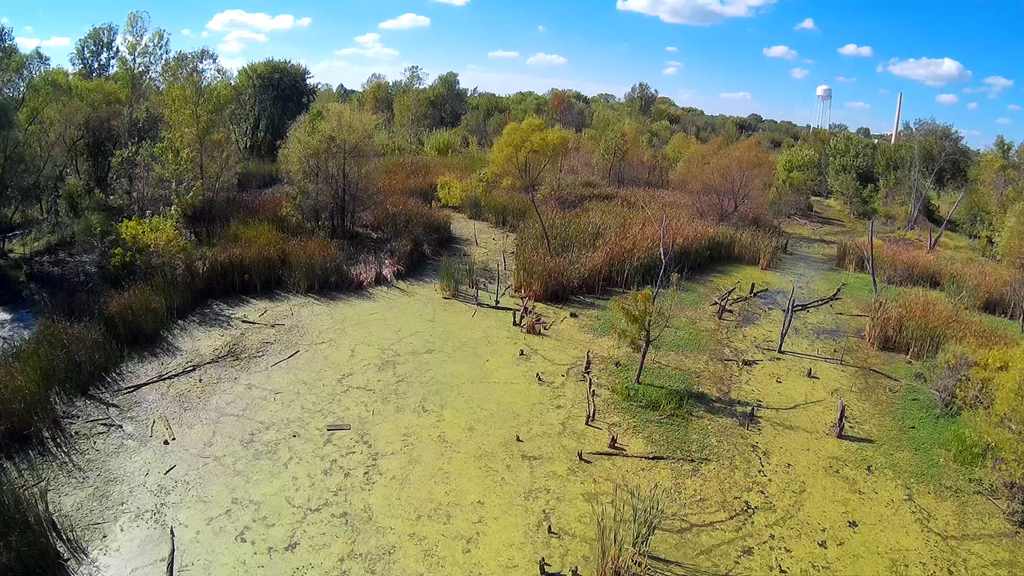
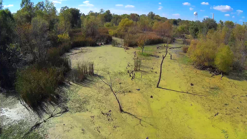
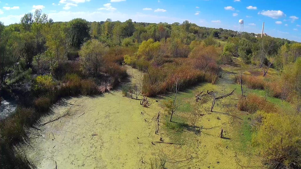
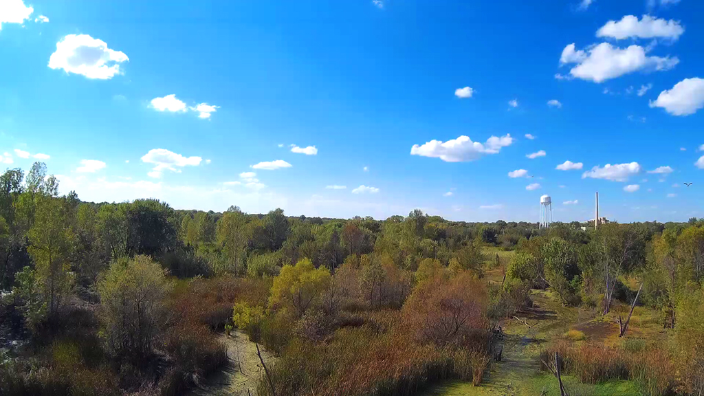
Swampy Flyover (2) - October 22, 2015
Seventy-five degrees, overcast and a little wind, the swamp area North of the
Shunga walking trail has almost
completely dried up. A few water holes still contain some moisture, but
for the most part the entire area
is pretty much bone dry. The cattails along the border of this area are
dry and have taken on the colors of
Autumn. We felt a little more comfortable flying over the swamp this time
than we did on September 27th,
when it was filled with water.
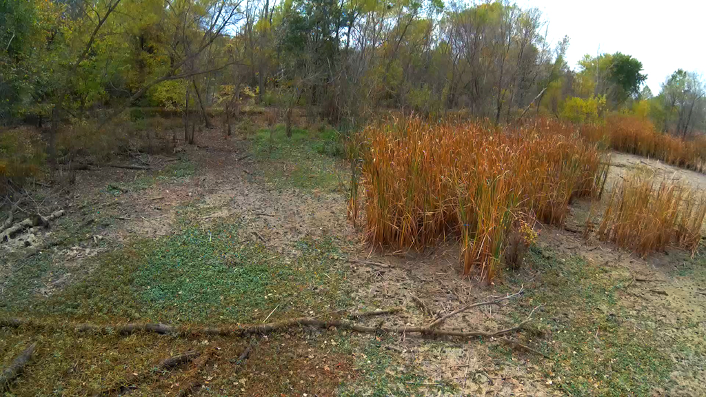
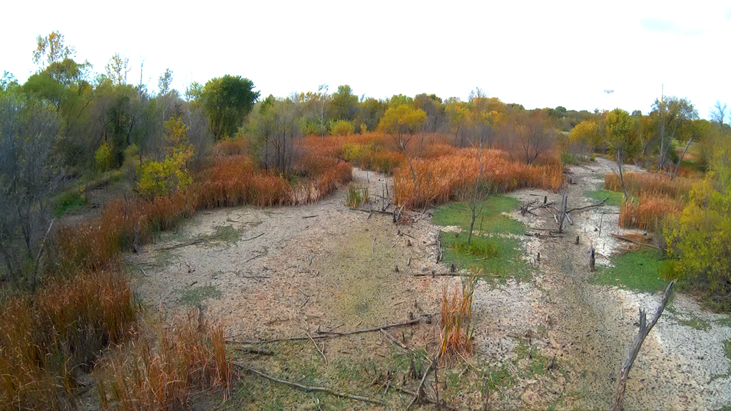
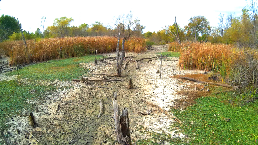
Short distance North of the
habitat swamp area in an open field area and then South and East of the swamp
area.


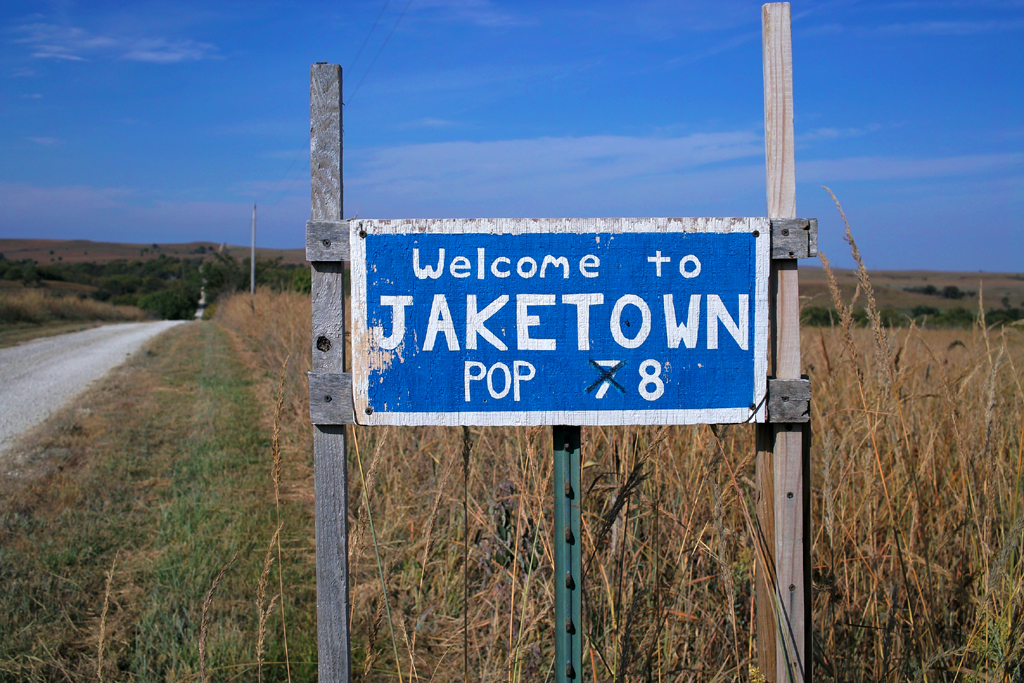
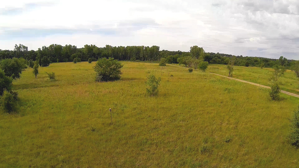
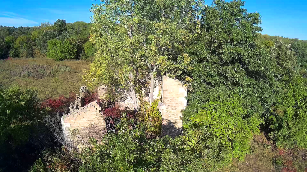
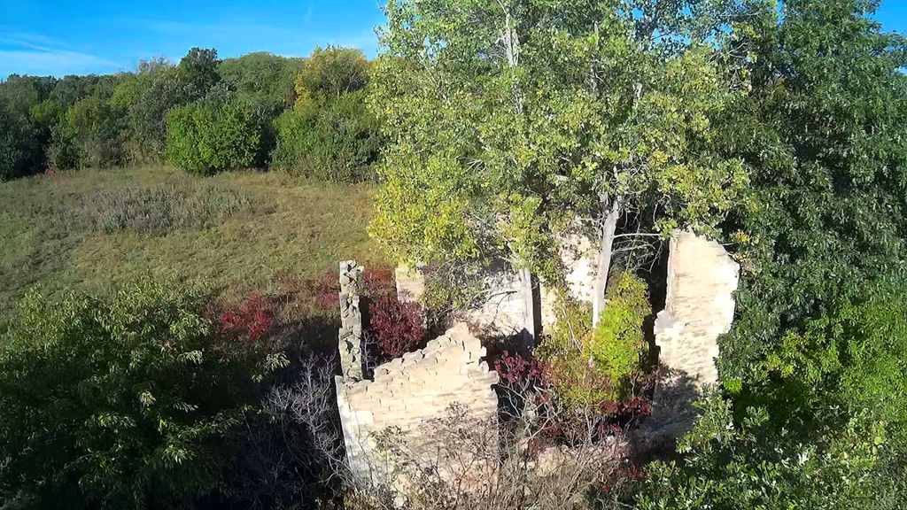
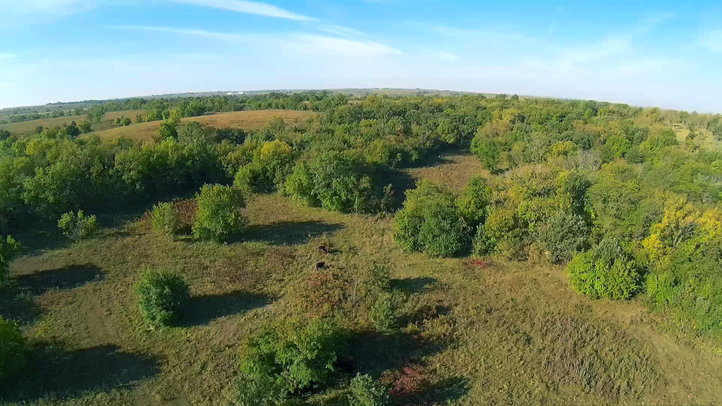
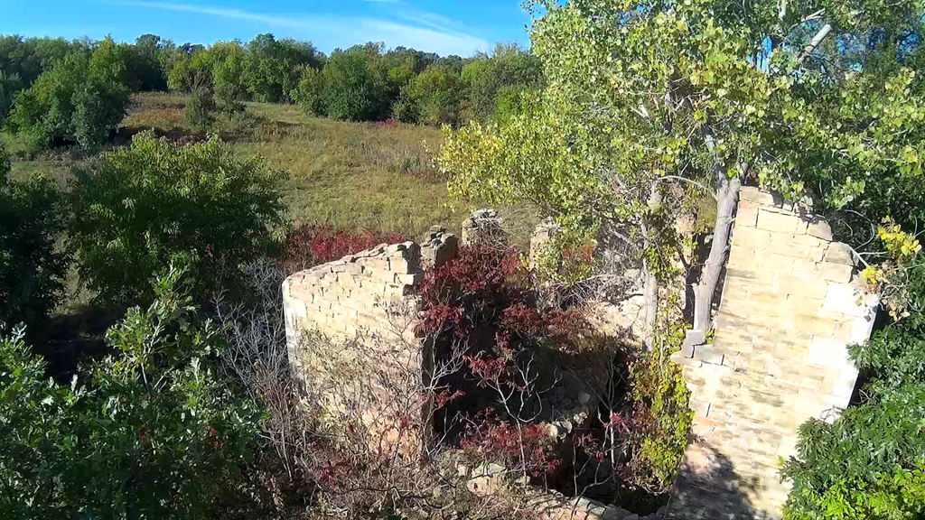
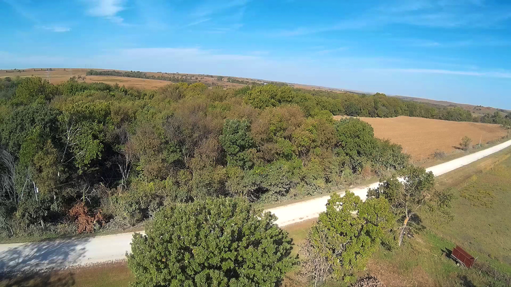
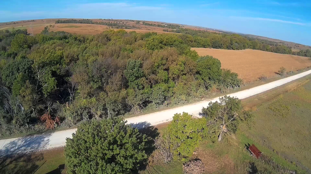
Up and Over Jaketown Road in the Flint Hills - October 7, 2015
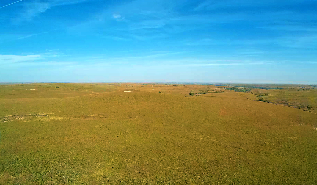
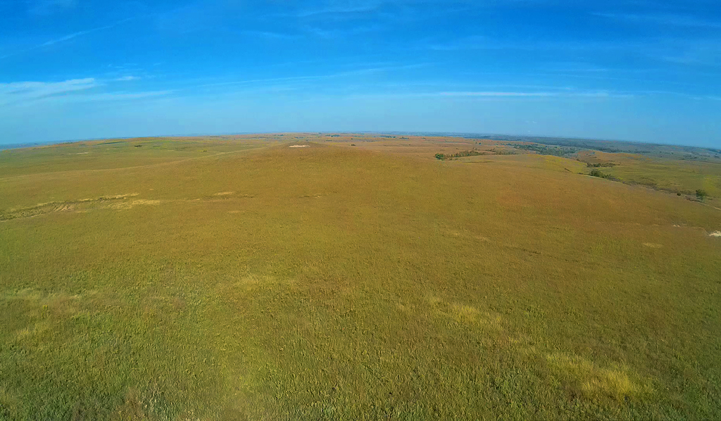
Great day with lots of sunshine and practically no wind. We flew initially
2 miles West of Dover, Kansas
and about a mile South and then West looking for an old school house that we had
photographed back in
November 2003. Never found the school house, but did find the remnants of some
stone buildings dating
back
in the 1800's. We did fly around the old Snokomo school house and had
a motor failure with the
X600 hexacopter. One out of six motors not operating disabled any further
flying.
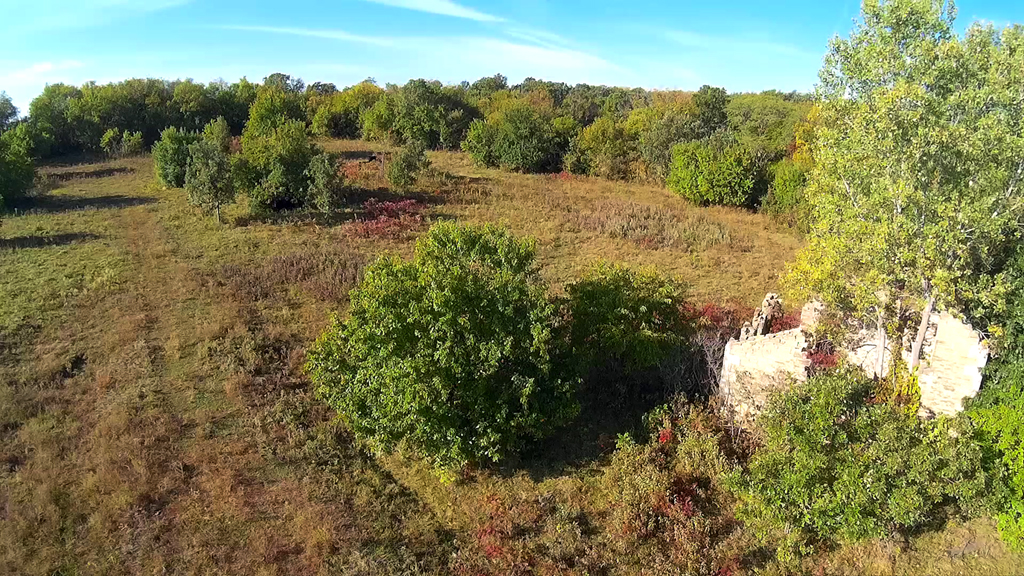
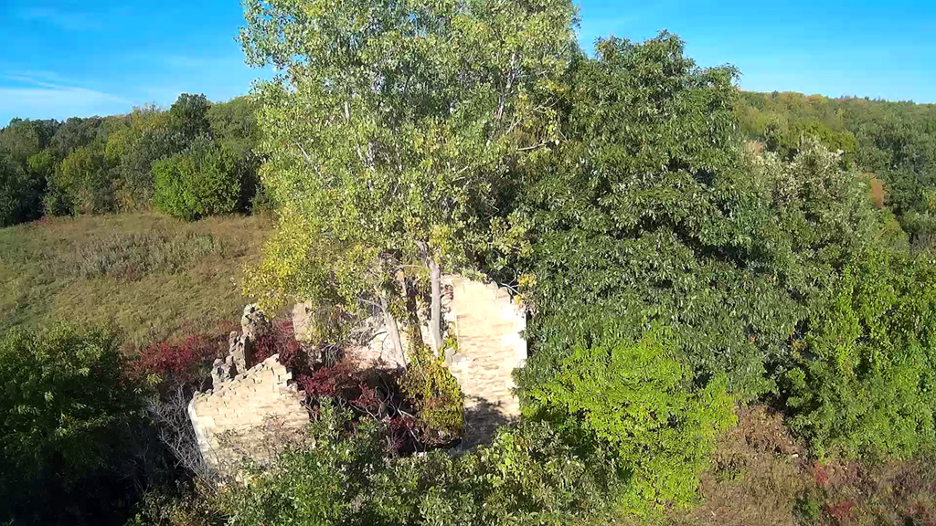
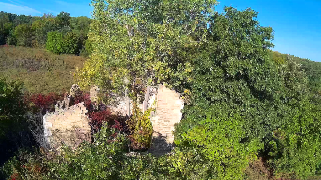
According to my July 2001 and November 2003 photographs there was another building in behind
this one
and possibly
another to the South. On further was the school house and another building
to the West.
Viewing these
remnants when the foliage is so prevalent is part of the problem as they
are a lot easier to find
and see during late Autumn, Winter or Early Spring. While these
stone remnants were along Goldfinch road
(a low maintained roadway), there is
another road South of here,
but it was closed for some reason and would have afforded us a
better view of where
that school house was
located when we visited in 2003.
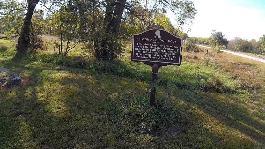

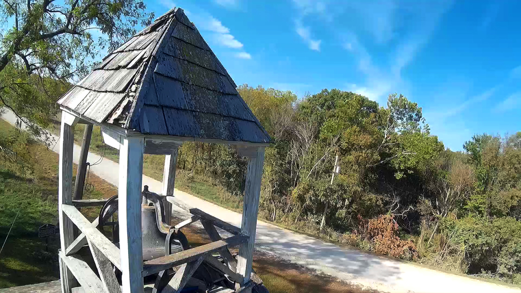
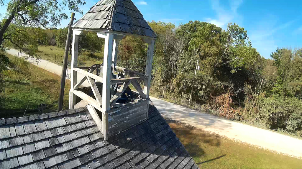
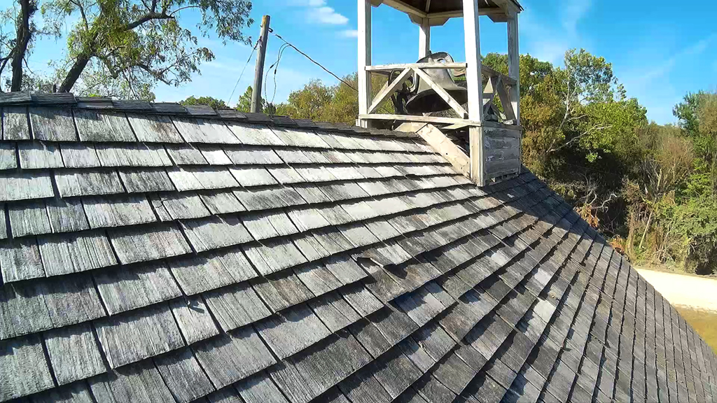
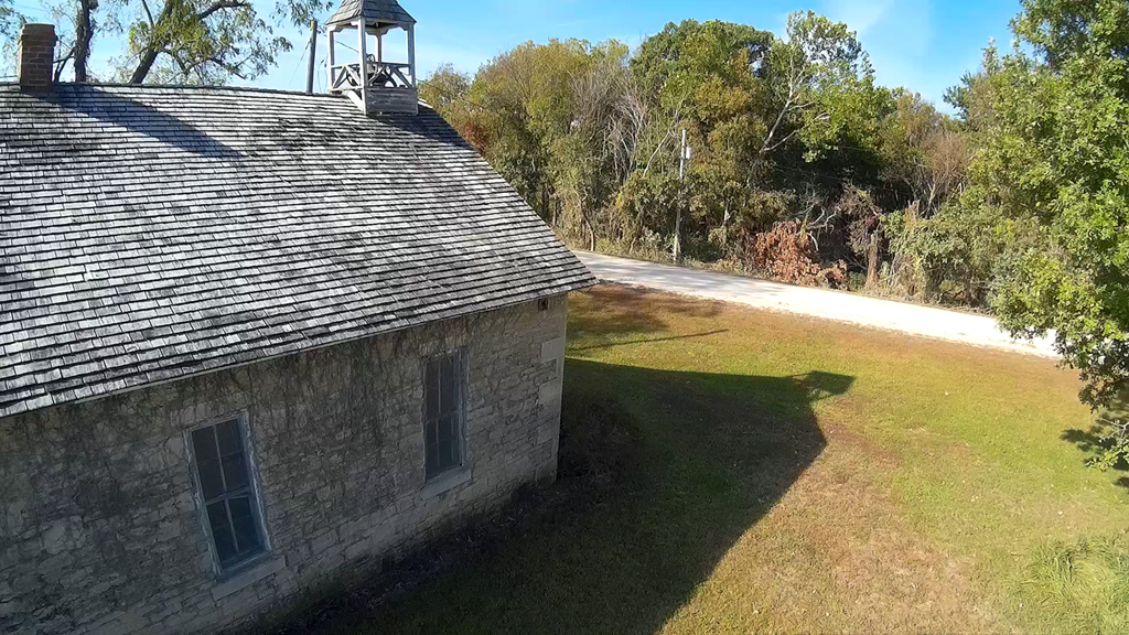
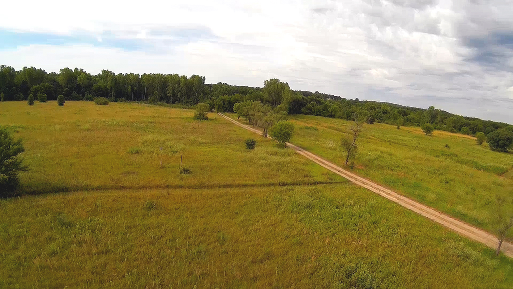
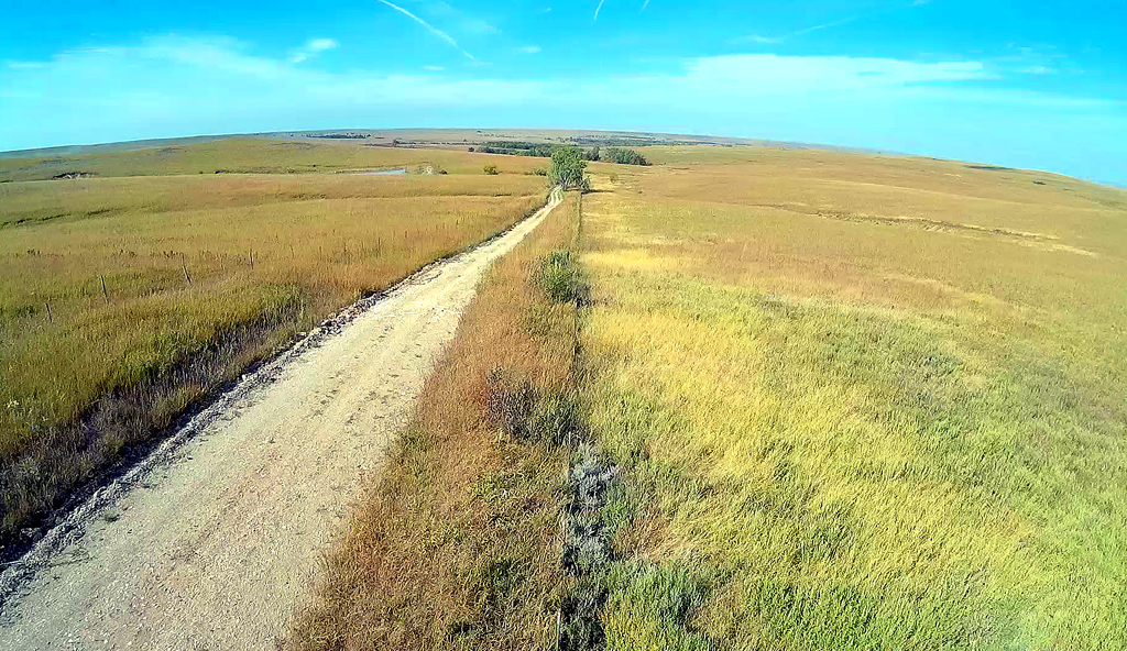
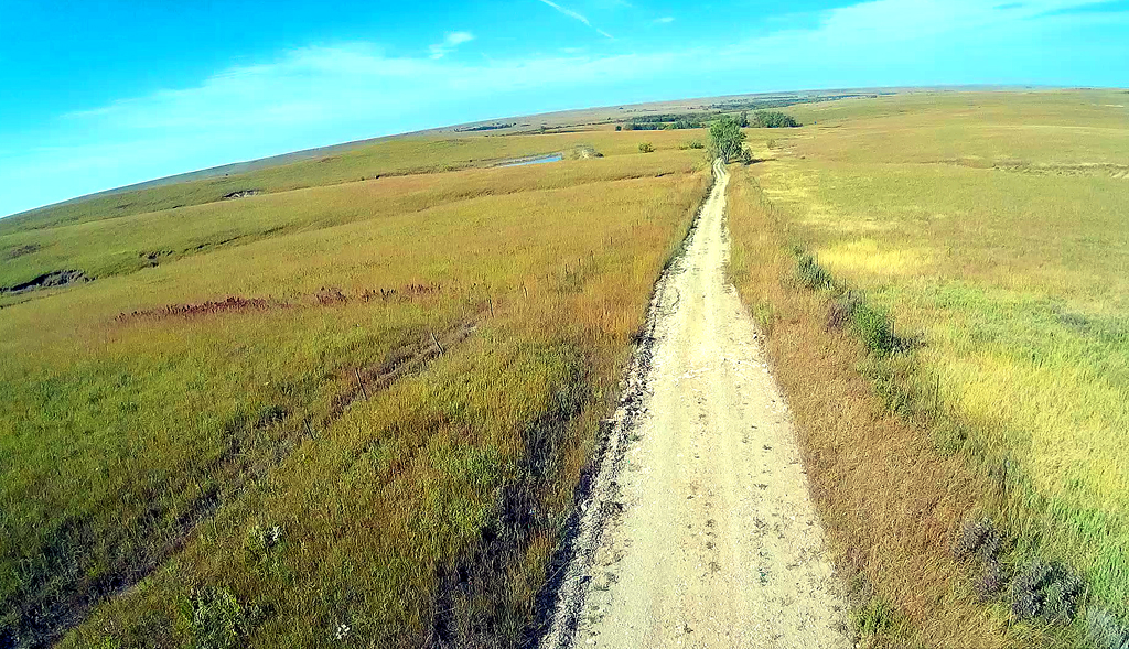
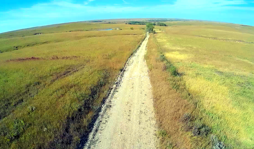
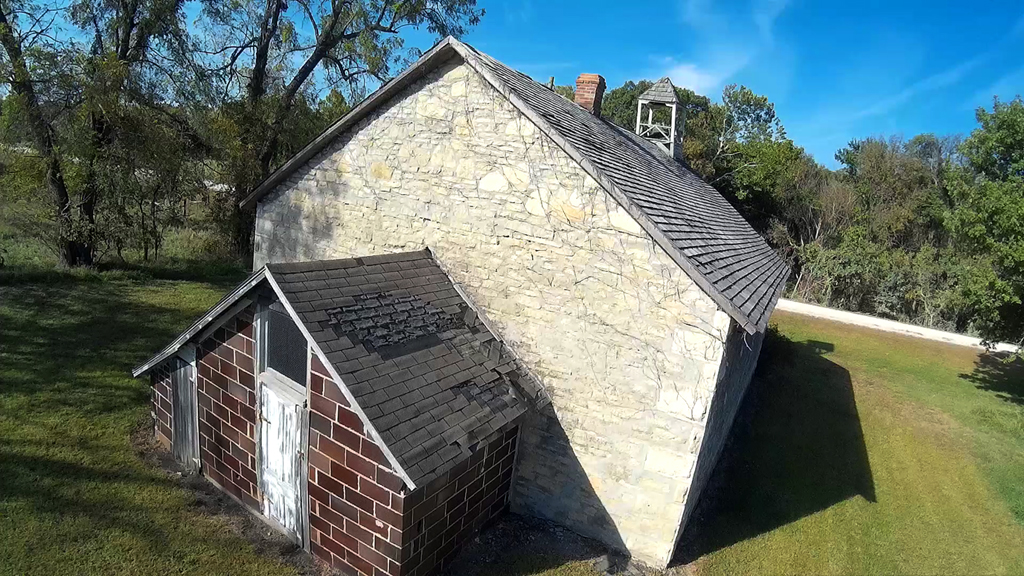
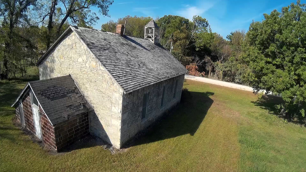
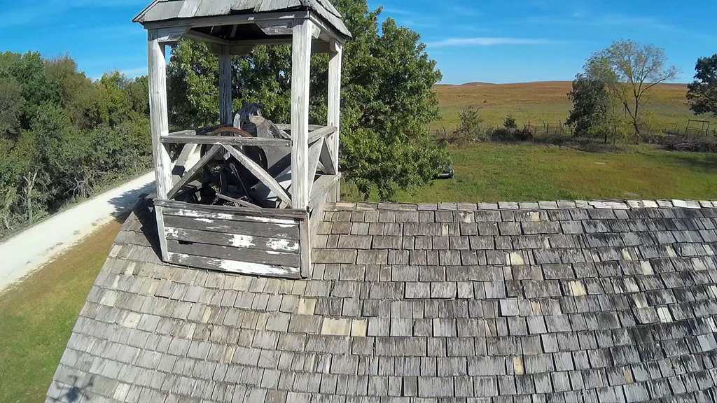
Built in 1883 and restored in 1972, the Snokomo School House looks a little
different from up above then down
along the dusty Snokomo roadway.
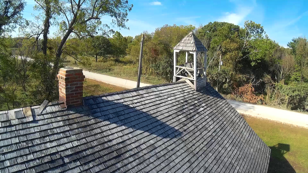
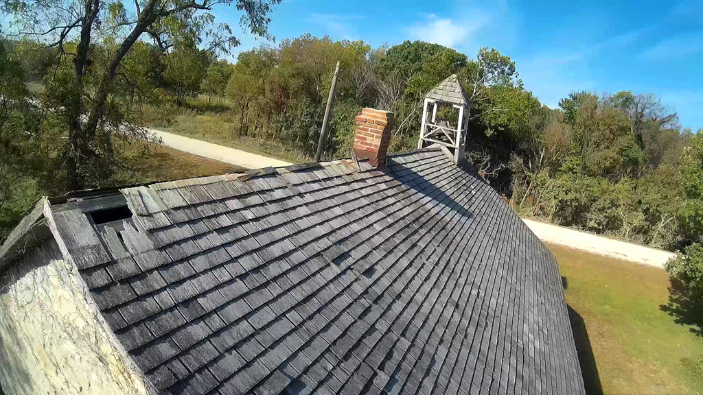
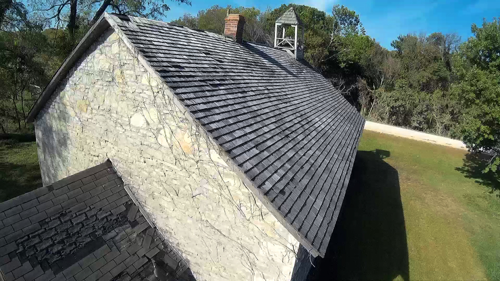
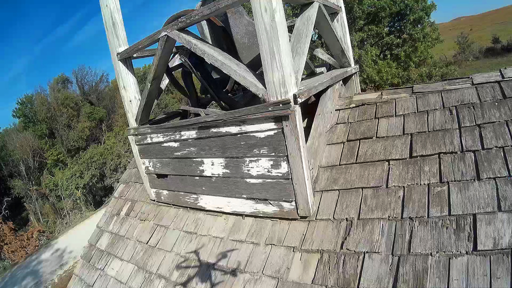
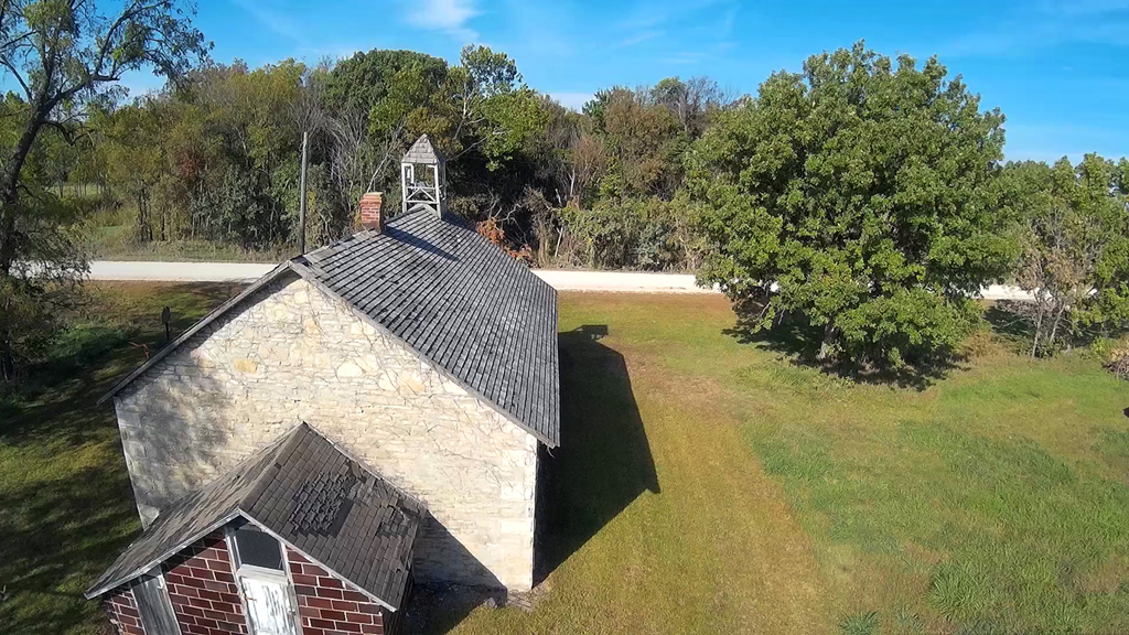
First image in the above row shows the shadow of the X600 hexacopter and it's
six propellers.
Looks like a "spider" on the shingles. Last
two images from the video looking Northward up Snokomo
Road in Wabaunsee County.
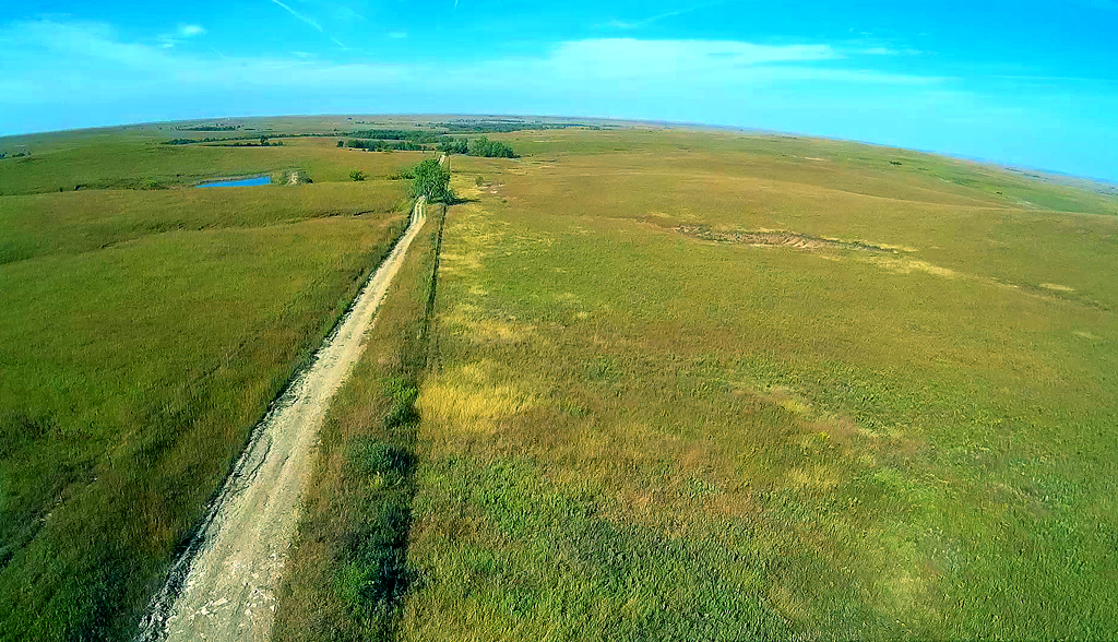
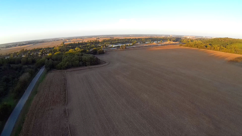
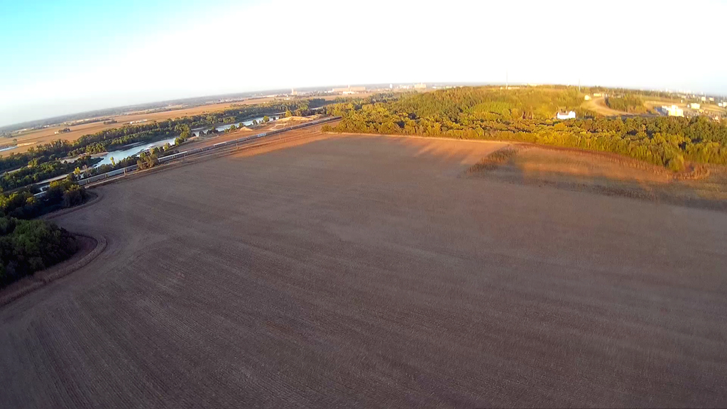
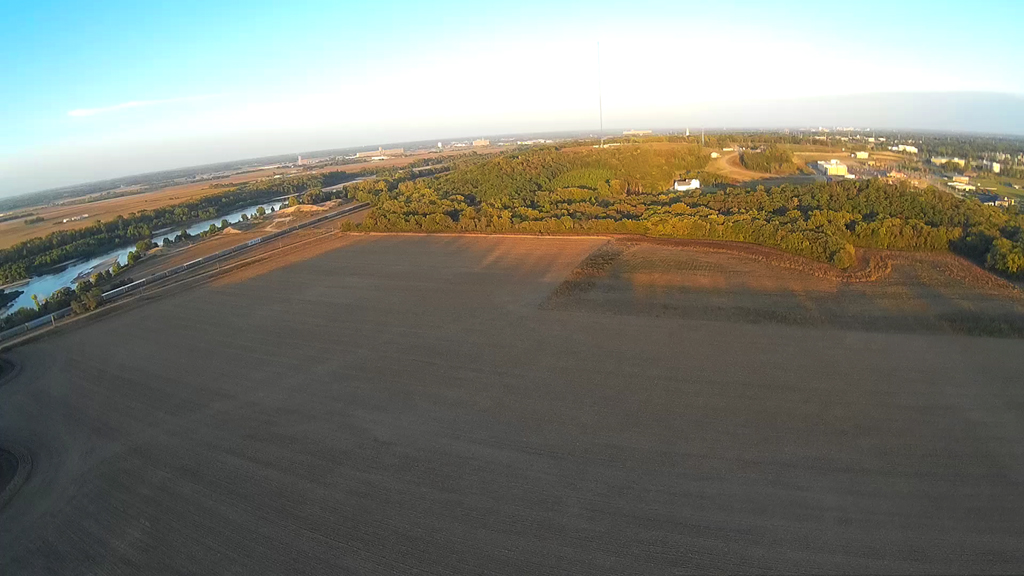
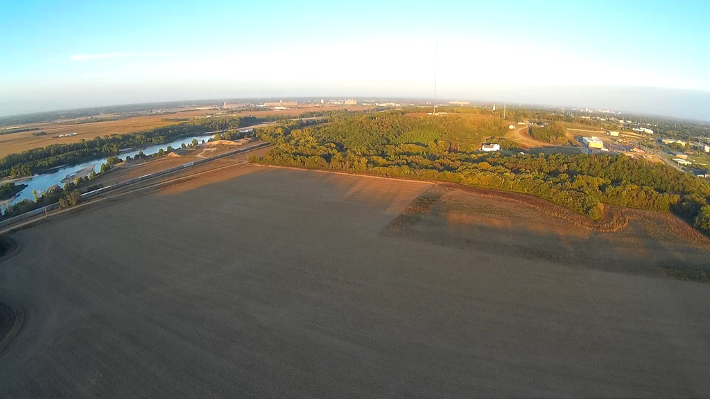
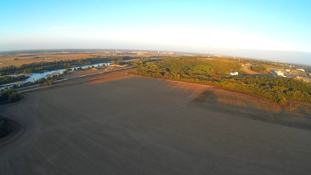
Sixty-three degrees and clear blue skies North of Tenth Street and along Urish
Road. Up at an
altitude of about 300 feet and looking to the East. The Kansas River on
the left and to the North.
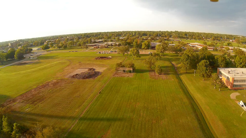
Open Field - October 6, 2015
Little less stressful when you're in
an open field and don't have to be concerned about trees and other
obstacles - problem with me is I go higher and have to be concerned about the
ascension.
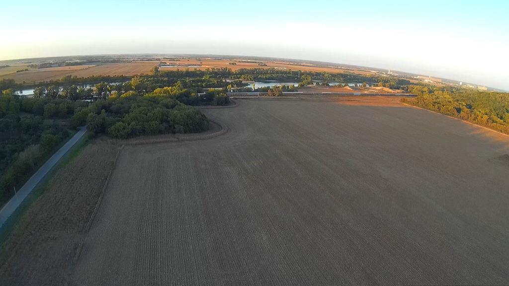
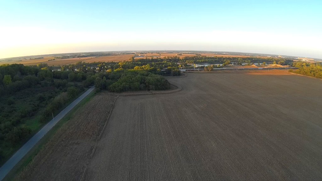
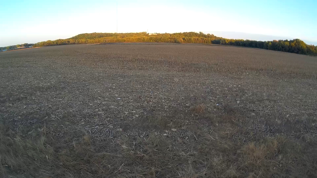
Sunset coming upon us and we decided to bring it down.
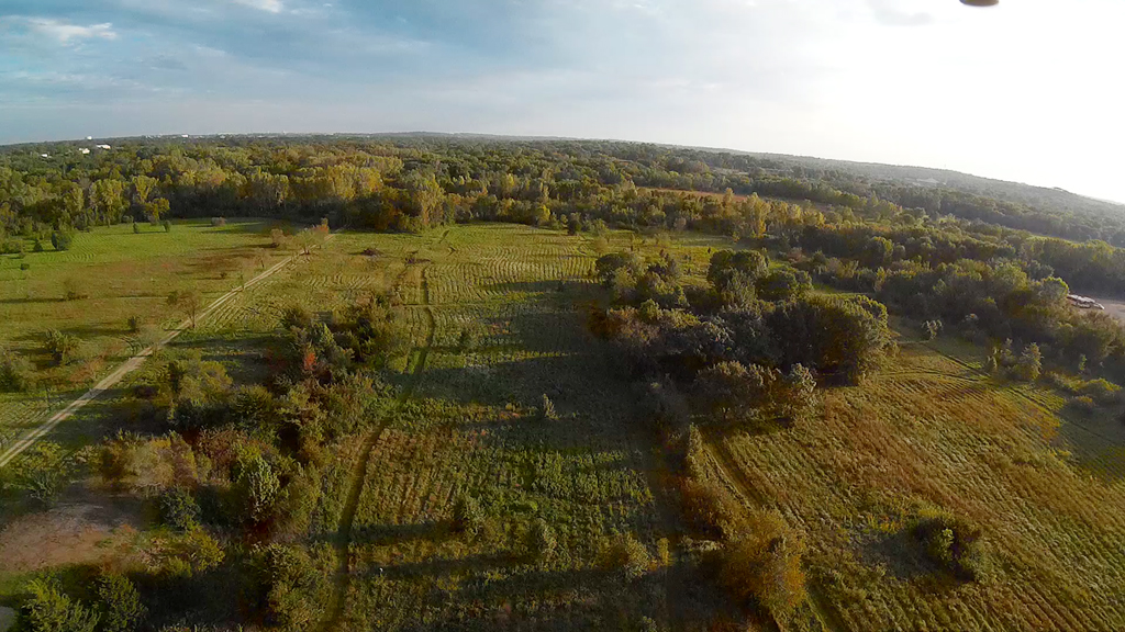
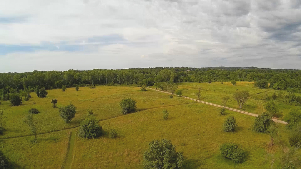
Swampy Flyover - September 27, 2015
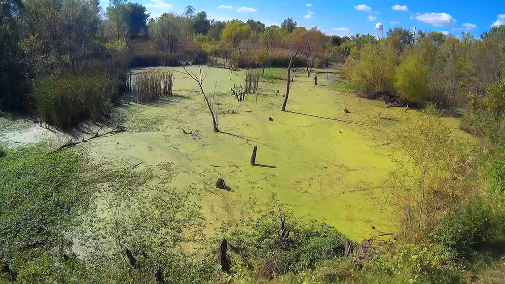
Great weather with a little breeze
that occasionally was gusty, we took a few flyovers of an area that is part
of large nature
trail that is just a little North of the Shunga Glenn walking trail in South
Central Topeka. We tested out this area above
the swamp with our lighter Syma X5C-1 awhile back, but today we used the MJX X600 and the
Runcam HD camera beneath.
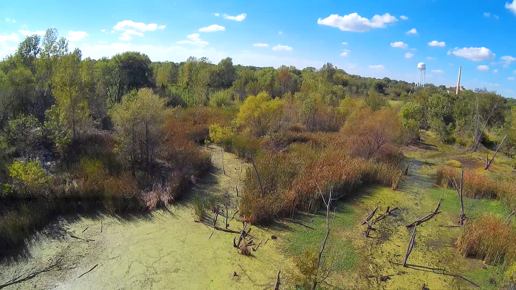
Carefully going forward into the swamp from East to West, little did we know we
were about to stir up three hawks
flying in from the Southwest and around us to the North. We got so
pre-occupied with watching them and trying
to keep the X600 up and above the water that we neglected to turn the copter a
little to the Northwest so the hawks
would be included in the video. Subsequently we only got a glimpse in the
images.
Look closely along the right-hand edge of the last few images above and the
images below and what little of the hawks
we captured in flight is there. They were making a lot of noise, as
obviously we were in their predatory food area.
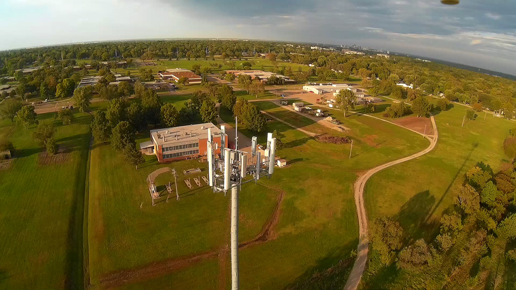
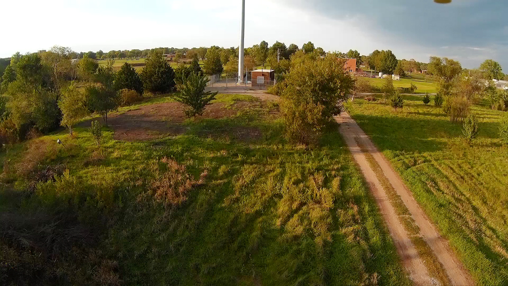
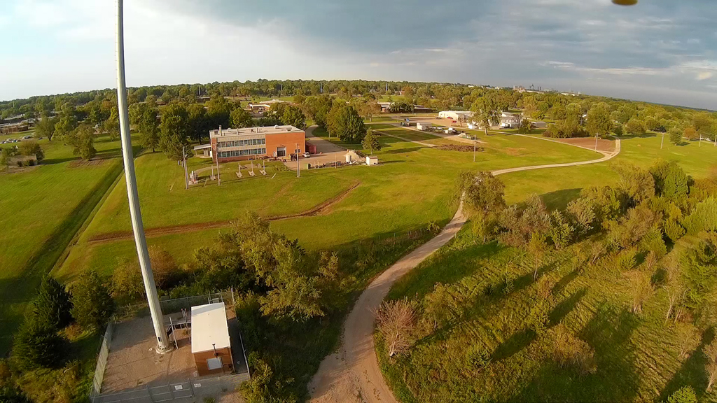
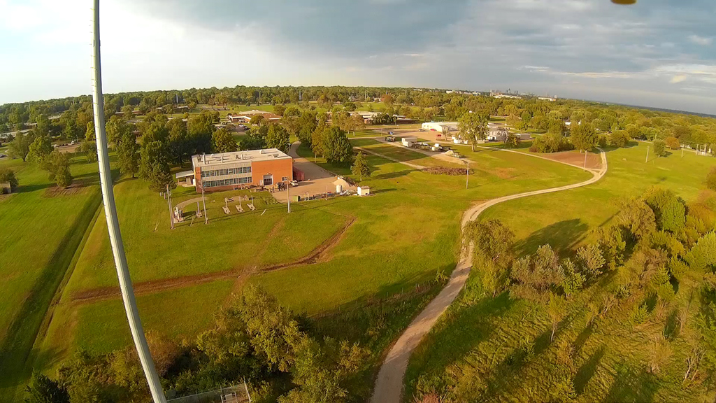
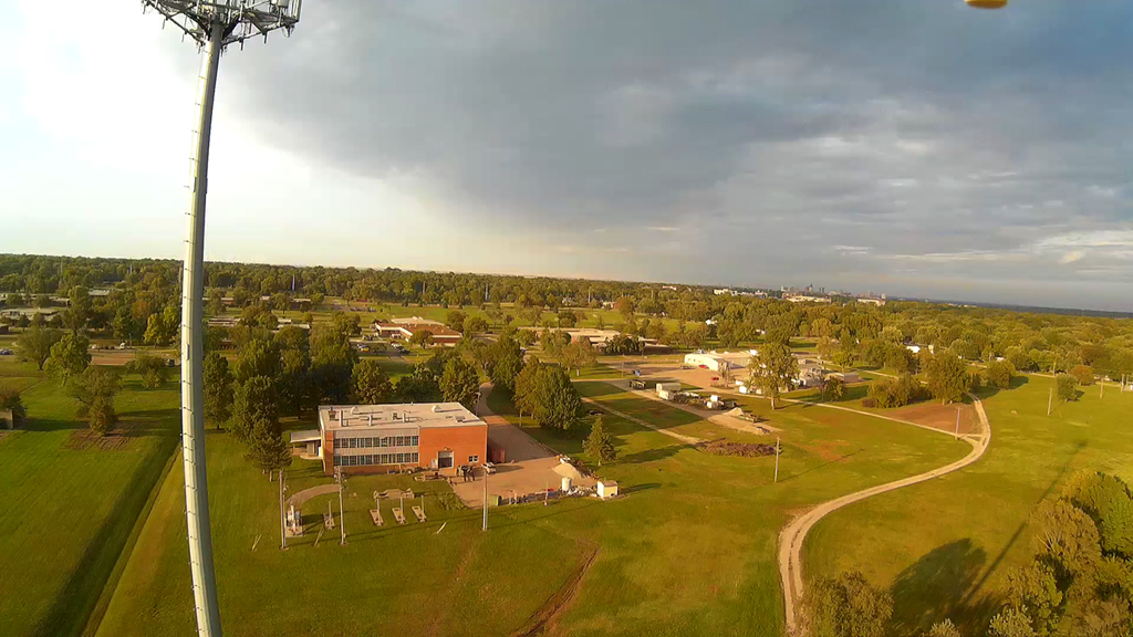
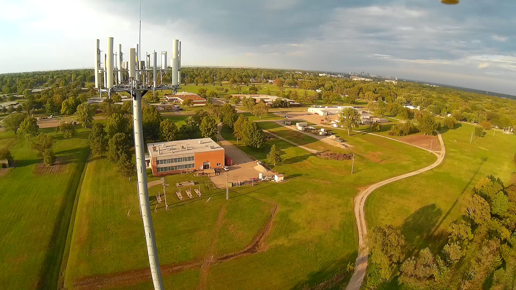
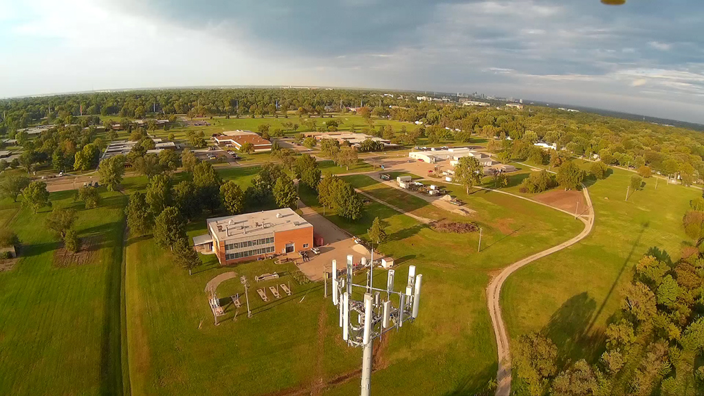
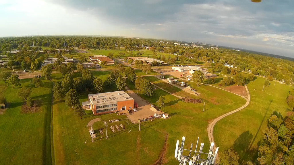
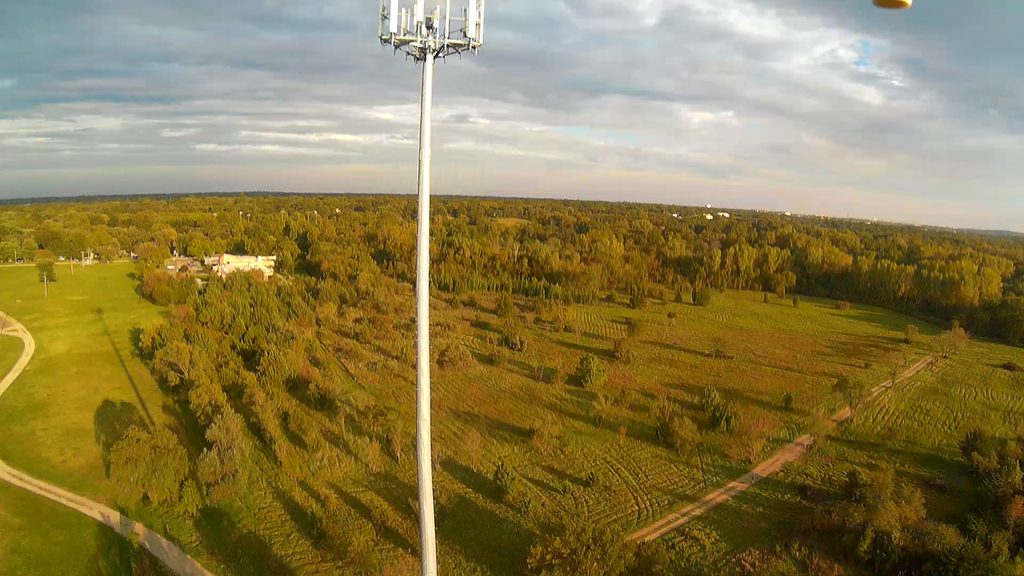
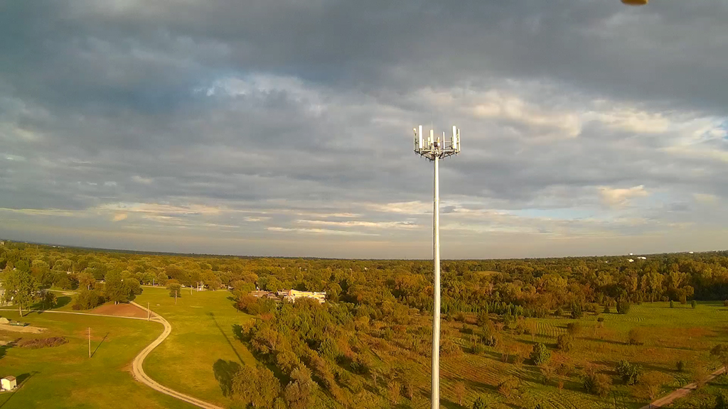
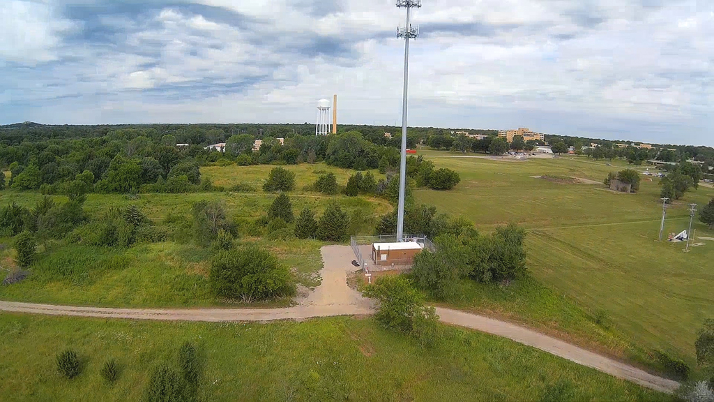
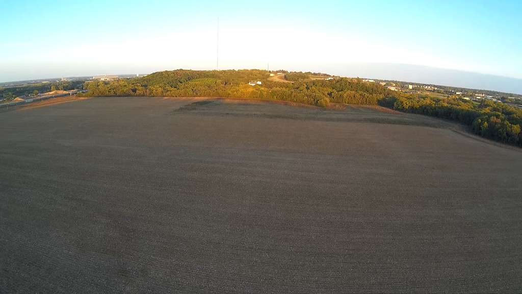
Up and Above
a Cell Phone Tower - September 24, 2015